A Municipal Pipe Network Project in Practice: Urban Waterlogging Early Warning Application Case
Transforming passive emergency response into proactive prevention through integrated sensing and model coupling.
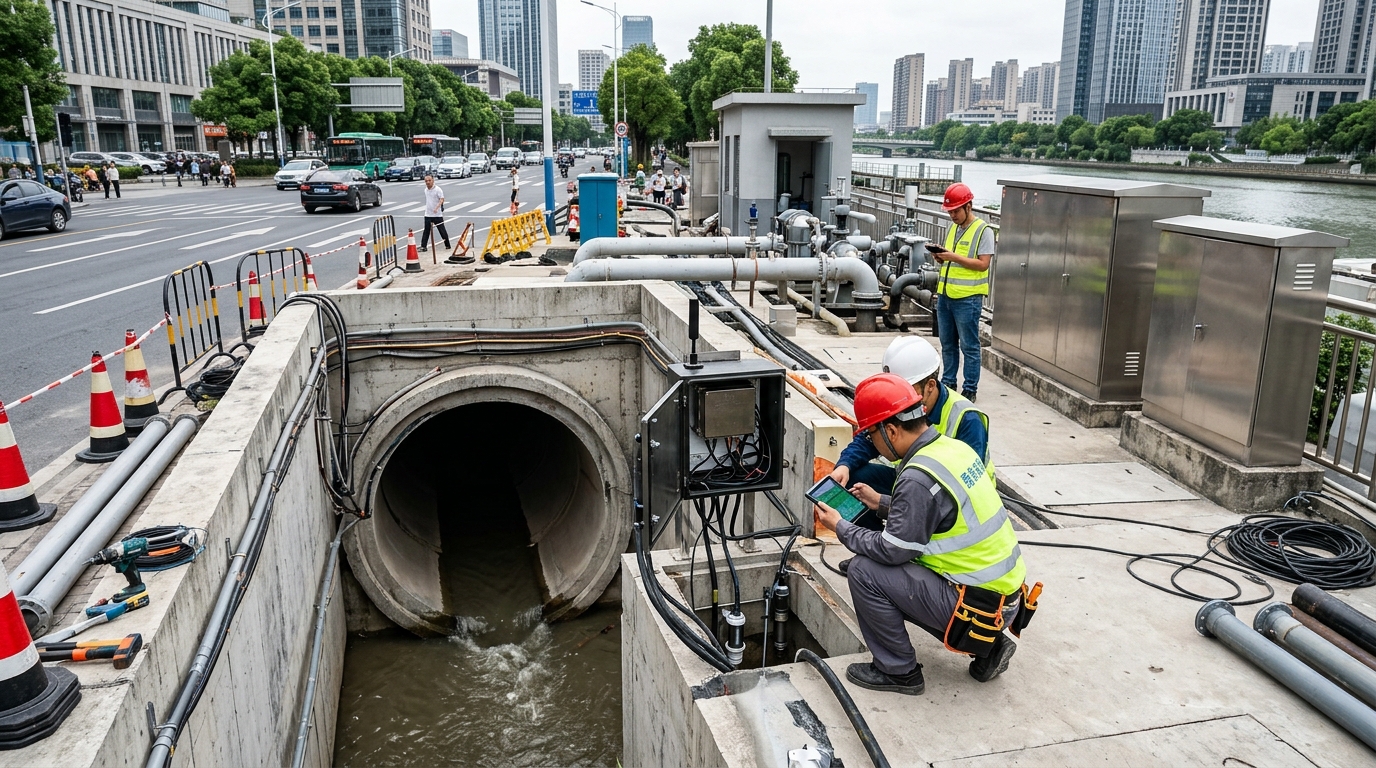
Project Background: High-Density Urban Pluvial Flooding Risk
Urban pluvial flooding early warning is not merely a meteorological issue but a complex urban safety governance challenge shaped by rainfall, drainage networks, surface runoff, river backwater, pump station dispatch, and traffic organization. A city in East China with a built-up area of approximately 128 km² and a population of 2.65 million faces significant risks despite having 6,800 km of underground stormwater pipe networks. While main districts meet 30- to 50-year return period standards, aging districts, underpasses, and low-lying interchanges remain vulnerable. Over the past three flood seasons, average rainfall increased by 12% compared to historical averages, intensifying pressure on traditional flood prevention models.
"During a heavy rainfall event in July 2023, the city recorded 216 mm of cumulative rainfall, causing waterlogging at 37 road locations and resulting in direct economic losses of approximately 170 million yuan."
This event exposed critical gaps: insufficient pre-rainfall forecasting, limited in-event perception, and slow dispatch response. Consequently, in April 2024, local departments launched an integrated smart urban pluvial flooding early warning project covering 23 key districts, 156 risk points, and 41 pump stations.
Technical Challenges: Uncertainties in Sensing and Modeling
Radar Rainfall Estimation Issues
While rain gauges are accurate, they lack spatial coverage. Radar scans wide areas but suffers from high-rise blockage and ground clutter in dense urban zones. Field comparisons showed deviations of 15% to 25% between point gauges and radar grids, particularly at underpasses and interchanges.
Complex Waterlogging Mechanisms
Surface imperviousness varies widely (e.g., >85% in commercial areas vs. ~68% in aging residential). Coupling rainfall runoff, pipe routing, and river backwater makes model parameters highly sensitive. Device drift and false alarms further complicate reliability.
Solution: Space-Air-Ground Integrated Sensing System
The project adopted a technical route combining space-air-ground integrated sensing with data-model linkage to address these challenges.
- Radar Side: Deployed four X-band dual-polarization phased-array radars (30 km coverage, 6-minute scan period). Fused with 28 rain gauges to create a 100-meter grid dataset, reducing average error to within 10%.
- Waterlogging Monitoring: Installed 120 sets of radar level sensors (±1 mm accuracy) and 260 video AI detection devices. The AI system identifies depth and trends with 92% accuracy and responds to abnormalities in ~30 seconds.
- Model Coupling: A one-dimensional pipe network model coupled with a two-dimensional surface hydrodynamic model updates every 10 minutes, forecasting waterlogging depth for the next hour across the 128 km² area.
Implementation & Calibration Process
Implementation spanned five stages over 14 months with a total investment of ~28.6 million yuan. Key phases included:
Critical Milestones
- Survey (Apr-Jun 2024): Reviewed elevations and catchment areas for 156 risk points; identified 41 sections with insufficient capacity.
- Installation (Jul-Aug 2024): Night construction ensured 98.6% data backhaul availability via fiber-optic and 5G links.
- Calibration (Sep-Oct 2024): Used 12 historical events to adjust Manning's n and runoff coefficients. Sensitivity analysis showed peak waterlogging changes up to 28% when adjusting roughness.
- Trial Operation (Mar-Aug 2025): Real-world testing during the flood season validated system performance.
Warning Mechanism: Tiered Thresholds & Dynamic Factors
The system balances lead time, accuracy, and actionability using four threshold levels based on waterlogging depth (10 cm to 50 cm). It incorporates dynamic factors such as forecast rainfall, pipe network water levels, and video recognition confidence.
To avoid "only alarming without response," warnings are linked directly to dispatch processes. The system pushes recommended measures to water affairs, traffic, and urban management departments, shortening issuance response time from 15 minutes to 6 minutes.
Real-World Case: June 18, 2025 Heavy Rainfall Event
On June 18, 2025, the city experienced 184 mm of rainfall with a peak intensity of 52 mm/h. At 17:02, radar detected a strong echo band entering the western urban area. By 17:25, the coupled model predicted waterlogging at 32 roads, with 20 locations exceeding 20 cm depth.
"The predicted-site overlap rate was approximately 96.8%, with an average lead time of 47 minutes."
At 18:10, video AI confirmed 28 cm waterlogging at a main underpass. The system triggered a Level 2 warning, prompting advance start-up commands for nearby pump stations. Because pumps started 18 minutes earlier than conventional dispatch, the waterlogging peak decreased by 22%, and average drainage time was halved from 4.6 hours to 2.3 hours.
Project Outcomes: Reduced Risk & Improved Efficiency
Reduction in Waterlogging Events: Events exceeding 20 cm in key districts decreased year-over-year. The longest single waterlogging duration dropped from 8 hours to 3.4 hours.
Pump Station Availability: 37 of 41 pump stations achieved online monitoring and dispatch linkage, maintaining availability above 98%.
O&M Cost Reduction: Annual maintenance costs were reduced by approximately 19% compared to the traditional manual patrol model, thanks to centralized platform management and automated reviews.
Concluding Outlook: Future Directions
This case demonstrates that the core of urban pluvial flooding early warning lies in forming a closed loop among rainfall perception, waterlogging detection, model computation, and flood prevention dispatch. While current systems have improved significantly, challenges remain regarding incomplete pipe network data in aging districts and extreme rainfall scenarios beyond training ranges.
Future developments will likely focus on digital twins for scenario simulation, multi-source fusion (integrating satellite, UAV, and citizen reports), and low-cost edge sensing to expand coverage. Ultimately, upgrading flood prevention systems requires both technical innovation and organizational process reengineering to shift cities from passive emergency response to proactive prevention and control.

