Latest Technology Advances in Smart Hydrological Monitoring Systems
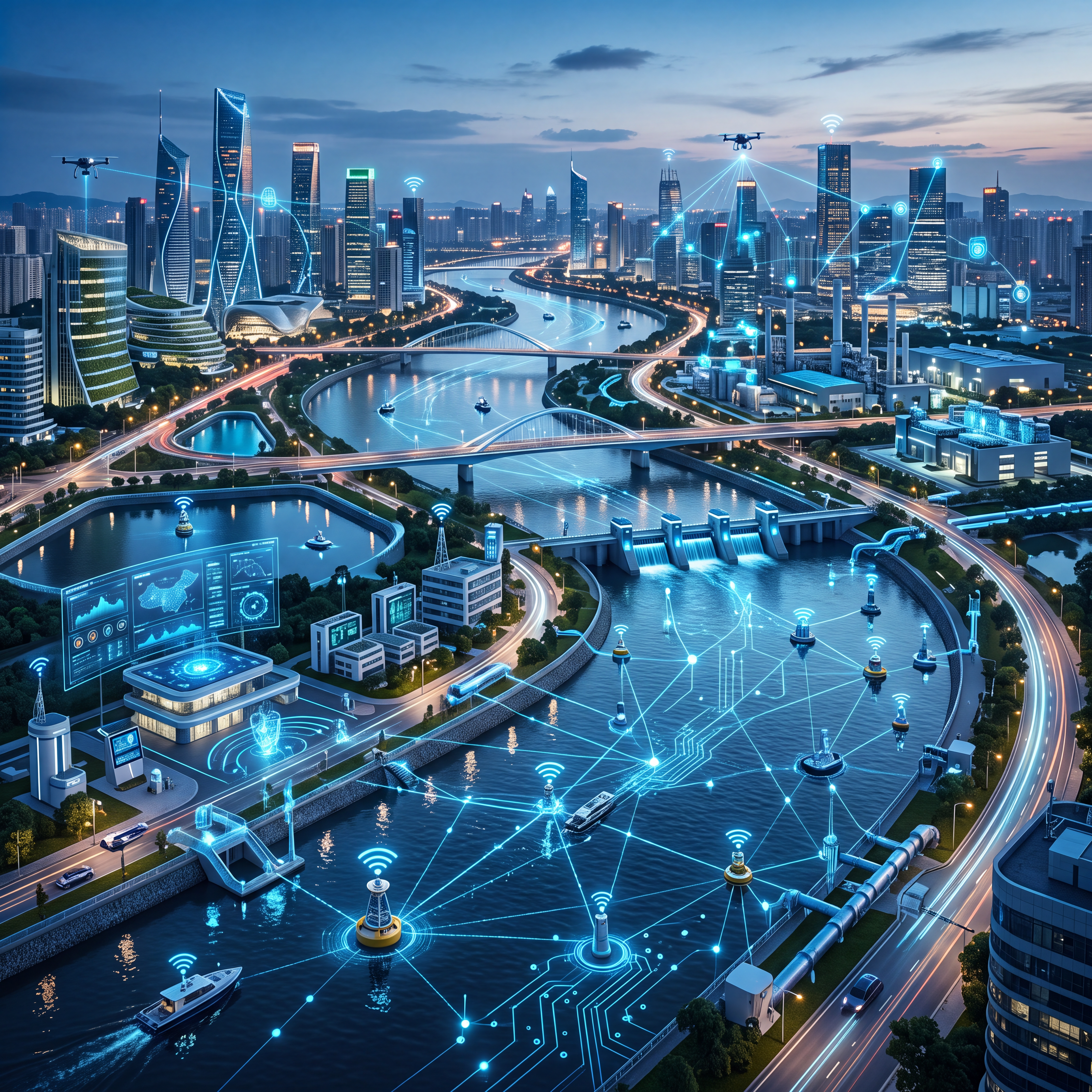
Driven by the urgent need to address climate change and extreme weather, modern hydrological monitoring systems have evolved into sophisticated IoT networks that serve as the first line of defense for flood control and water resource management. These advanced solutions integrate non-contact sensing, satellite communication, and AI-driven analytics to ensure precise, real-time data collection for smarter water security strategies.
Technological Evolution from Manual to Ubiquitous Perception
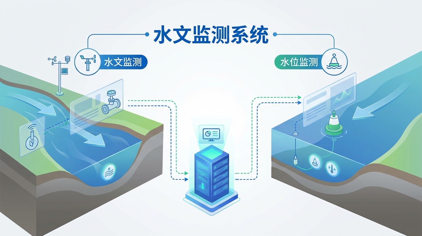
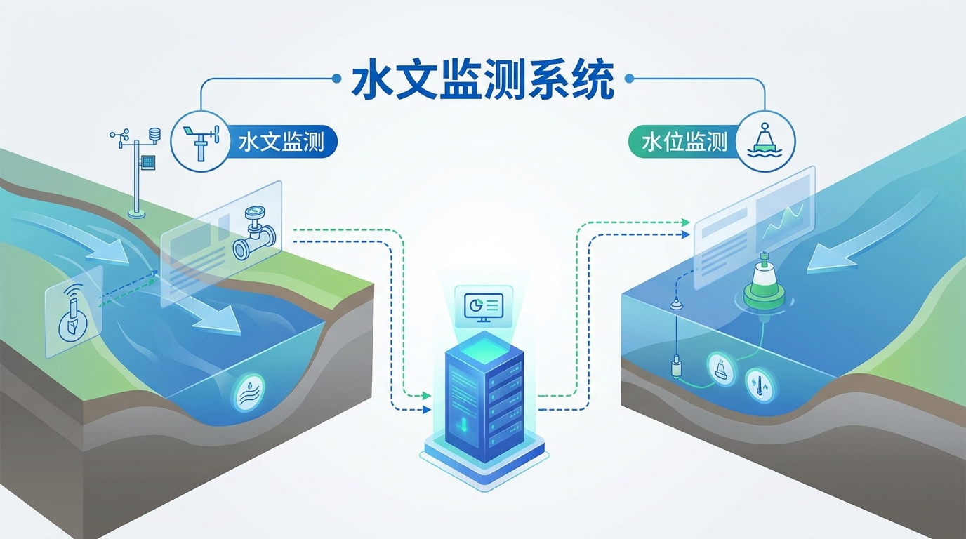
The industry has fully transitioned from traditional manual observation to automated, Internet of Things (IoT) enabled systems. This architecture relies on three core components: front-end sensing devices, robust data transmission networks, and intelligent back-end processing platforms.
In front-end sensing, high-frequency radar and ultrasonic meters are replacing older float-type gauges to avoid damage from debris while maintaining millimeter-level accuracy even in fast currents. Multi-parameter integrated sensors now allow single stations to simultaneously capture flow velocity, rainfall, and water quality data across multiple dimensions.
Reliable Data Transmission via Satellite and LPWAN
Modern systems utilize multi-mode communication technologies to adapt to harsh field environments, ensuring uninterrupted data flow where it matters most. In areas with 4G/5G coverage, high-frequency uplinks provide real-time bandwidth, while BeiDou satellite short-message technology acts as a critical anchor in remote or disaster-stricken zones.
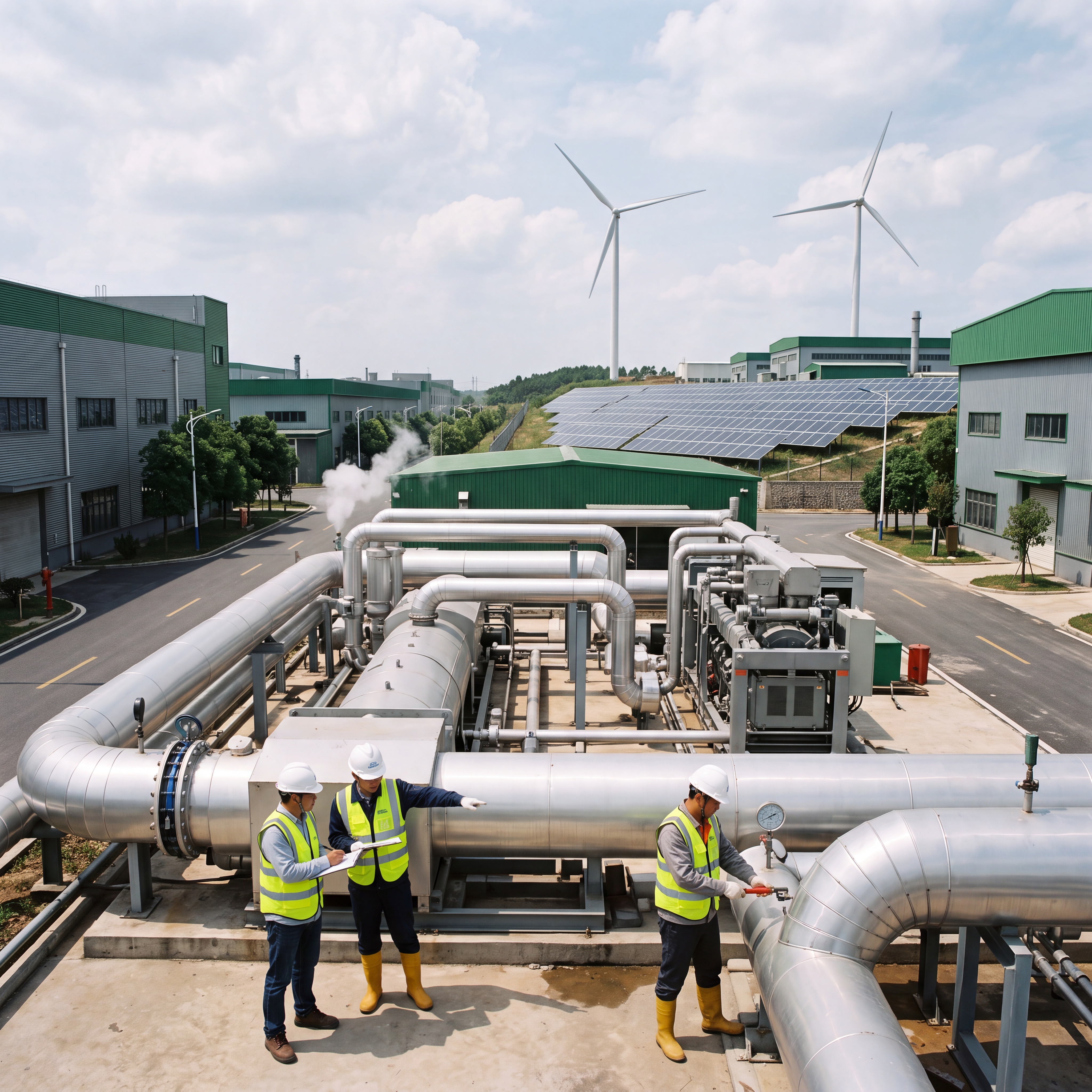
To extend maintenance-free cycles in remote locations, Low-Power Wide-Area Networks (LPWAN) like NB-IoT and LoRa are combined with solar power supply systems. This combination ensures that hydrological monitoring stations remain operational even when grid connectivity is severed during extreme events.
Fortifying Safety Lines for Flood Control and Drought Relief
The primary value of these systems lies in all-weather flood control operations for rivers, lakes, and reservoirs. Dense monitoring networks along coastlines collect 24-hour data on water levels, rainfall, and discharge, instantly triggering multi-level alarms when thresholds are approached.
During flood seasons, this high-frequency real-time data serves as the scientific basis for deciding whether to open reservoir gates for discharge or store water for regulation. This capability effectively safeguards the overall safety of upstream and downstream basins by providing command departments with crucial response time.
Smart Solutions for Urban Waterlogging and Drought Management
As urbanization accelerates, integrating hydrological monitoring into underpasses and underground pipe networks has become a standard for smart city resilience. These networks enhance a city's ability to respond to extreme rainstorms and ensure citizen safety during heavy precipitation events.
For drought relief, long-term dynamic monitoring of groundwater and soil moisture provides objective data to guide agricultural irrigation and macro-decisions like inter-basin water diversion. This approach maximizes water resource utilization efficiency by accurately assessing regional water scarcity.
Future Trends: AI and Digital Twins in Smart Hydrology
AI-Driven Forecasting
Machine learning algorithms will replace traditional physical models, mining massive historical data to build dynamically evolving flood forecasting models.
This shifts forecasting from "passive monitoring" to "active prediction," significantly improving lead times and accuracy.
Digital Twin Basins
Integrating 3D GIS and BIM with real-time data creates a high-fidelity "digital river" mirroring the physical environment.
Commanders can simulate flood dispatch plans and dam breach scenarios to formulate optimal disaster mitigation strategies.
Aerial-Terrestrial Integration
Future networks will combine satellites, drones, unmanned surface vehicles, and underwater robots for comprehensive perception.
This all-element network eliminates data blind spots, covering large-scale extraction to complex cross-section flow measurements.
Conclusion: The Path to Water Security
Modern hydrological monitoring systems have transcended single hardware devices to become comprehensive technical ecosystems integrating IoT, big data, and artificial intelligence. Continuously upgrading these technologies is the inevitable path to improving national flood control capabilities and ensuring water security.
With the deep integration of next-generation information technologies, the future of hydrological affairs promises to be smarter, more efficient, and more precise in managing our planet's vital water resources.