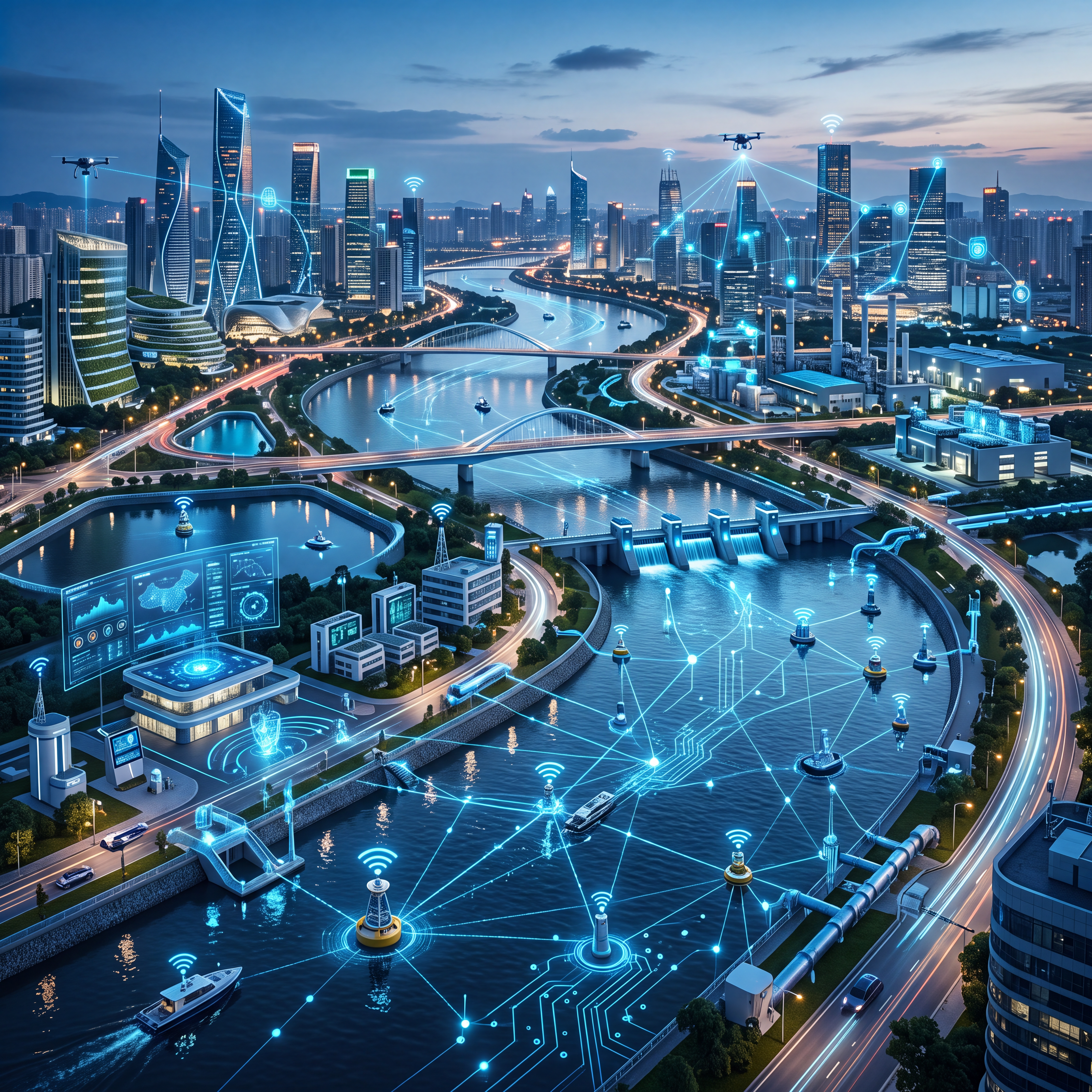
As global climate change intensifies, the frequency of extreme rainfall events has surged, making urban waterlogging early warning systems a critical component of modern city safety. Traditional flood control strategies often rely heavily on manual patrols and experience-based judgment, which suffer from significant response delays and coarse information granularity. Consequently, leveraging the Internet of Things (IoT), big data, and modern sensing technologies to establish a scientific, efficient, and precise system is becoming an inevitable trend in urban governance. This shift aims to transform flood management from passive disaster relief to proactive defense.
Evolution of Core Sensors in Urban Waterlogging Monitoring
In waterlogging warning systems, the accuracy and real-time performance of data collection form the bedrock of the entire operation. Historically, water level monitoring relied primarily on submersible pressure transmitters or ultrasonic level meters. However, these devices are prone to clogging by sediments and debris or interference from wind and foam in complex urban environments.
In recent years, radar level gauges have emerged as the mainstream choice in the field of urban flood control monitoring due to their unique non-contact measurement advantages. Modern radar level gauges typically employ Frequency Modulated Continuous Wave (FMCW) or pulse radar technology to calculate distance by emitting microwave signals. These microwaves possess exceptional penetrating power, remaining largely unaffected by adverse weather conditions such as temperature gradients, strong winds, heavy rain, and dense fog.
Next-generation radar level gauges feature optimized antenna designs and signal processing algorithms that effectively filter out false echoes caused by surface waves. They ensure millimeter-level high-precision water level data even in complex urban hydrological environments. Furthermore, these front-end perception devices are typically equipped with Low Power Wide Area Network (LPWAN) communication modules like NB-IoT, 4G, or 5G for real-time data transmission to cloud-based control centers.
Key Application Scenarios for Smart Waterlogging Systems
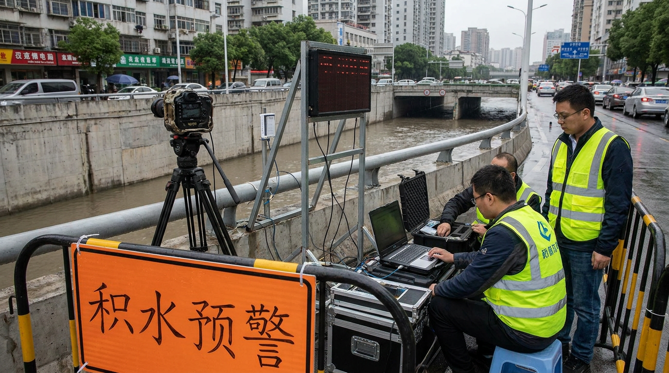
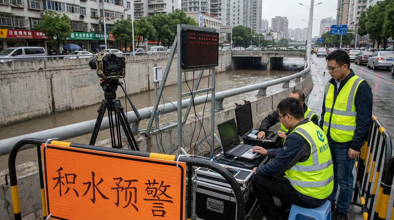
The application scenarios for urban waterlogging early warning systems align closely with urban topography, focusing primarily on high-risk areas such as underpasses at overpasses and underground tunnels. These low-elevation areas exhibit "rapid water convergence and slow drainage," posing severe risks of vehicle submersion and casualties.
In these critical zones, radar level gauges are suspended from bridge decks or sidewalls, working in tandem with electronic water gauges and sound-and-light alarms. Once accumulated water depth reaches a preset threshold, the system triggers pop-up alarms on command center screens and automatically links with traffic barriers to block access. This achieves second-level waterlogging warnings and rapid emergency responses.
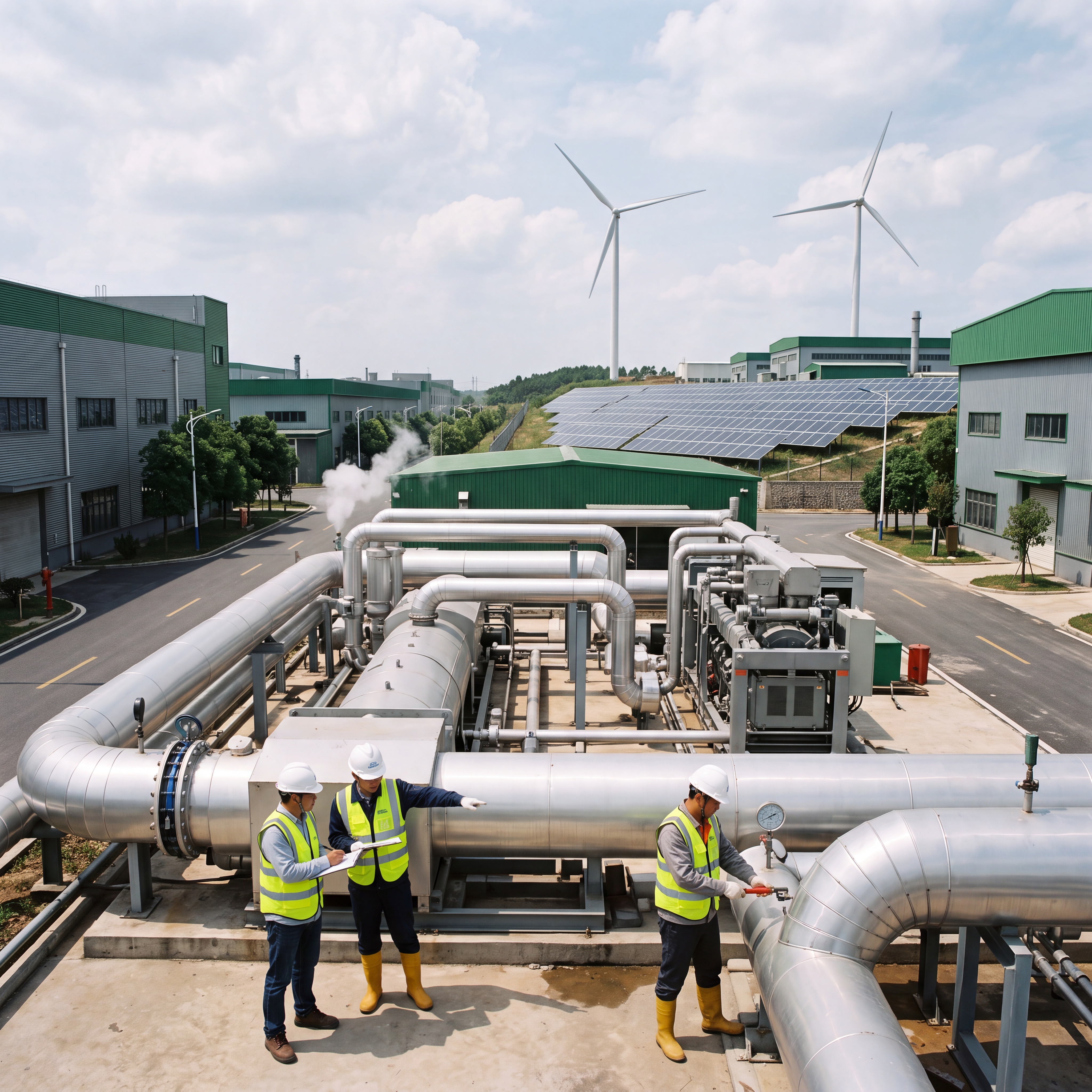
Beyond surface roads, the system extends to urban underground drainage networks and pumping stations, serving as the city's "capillaries." By installing level and flow monitoring equipment at manholes and pump station forewells, departments can monitor network load in real time. When capacity is reached, the system pre-schedules pump operations to dynamically expand discharge capacity.
Additionally, old residential communities and underground parking garages benefit from lightweight, easy-to-install micro-monitoring terminals. Community managers receive warning information via mobile apps before storms arrive, allowing for early organization of sandbag deployment and property protection to minimize economic losses.
Future Trends: AI and Digital Twins in Flood Control
Looking ahead, urban waterlogging monitoring technology is evolving deeply towards intelligence, stereoscopic coverage, and predictive capabilities. A major trend is the deep integration of edge computing and AI technologies, where front-end devices become "intelligent nodes" rather than mere data movers.
By embedding AI algorithms, devices can perform preliminary diagnosis of abnormal water conditions locally, filter invalid interference data, and autonomously trigger local emergency linkage mechanisms even if the communication network fails. This ensures reliability during critical moments when connectivity might be compromised.
Furthermore, the application of digital twins and hydrodynamic models allows cities to move beyond monitoring "current status" to predicting the future. By inputting real-time meteorological radar precipitation data and IoT sensor data into a city digital twin platform, the system can simulate water accumulation evolution over the next few hours. This data-driven flood prediction provides a scientific basis for resource allocation and personnel evacuation.
Finally, the industry is moving towards collaborative sharing and standardization of multi-source data across meteorology, water affairs, transportation, and emergency management departments. Breaking down "data silos" will allow waterlogging warning information to seamlessly integrate with navigation software and public broadcasting systems, achieving comprehensive societal coverage.
Summary of Technological Advancements
- Core Technology: Non-contact FMCW and Pulse Radar Level Gauges.
- Key Advantage: Immune to weather interference (wind, fog, rain) and debris clogging.
- Communication: LPWAN integration (NB-IoT, 4G, 5G) for real-time cloud transmission.
- Precision: Millimeter-level accuracy with advanced echo filtering algorithms.
- Future Direction: Edge AI computing, Digital Twin simulation, and cross-departmental data standardization.