Flash Flood Monitoring and Early Warning: Latest Technology Advances in Smart Water Conservancy
Flash flood monitoring and early warning systems are at the forefront of smart water conservancy innovation—leveraging IoT, AI, hydrodynamic modeling, and digital twin technologies to deliver real-time, accurate, and actionable insights for mountainous region disaster prevention. As climate change intensifies extreme rainfall events, these systems have evolved from passive observation tools into intelligent, predictive, and fully integrated defense platforms.
From Single Sensors to Multi-dimensional Fusion Sensing
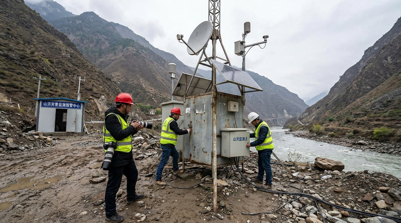
Modern flash flood monitoring relies on a layered IoT perception network—integrating tipping bucket, piezoelectric, and optical rain gauges for high-frequency, debris-resistant precipitation capture.
Non-contact radar water level meters dominate in fast-flowing mountain rivers, delivering millimeter-accurate readings unaffected by rain, fog, or wind—complemented by ultrasonic and submersible sensors in confined channels like culverts and underground streams.
This multi-modal, all-weather sensing architecture ensures robust data acquisition across diverse topographies—forming the foundational layer of smart water conservancy infrastructure.
Bridging the Last Mile: Real-world Application Scenarios
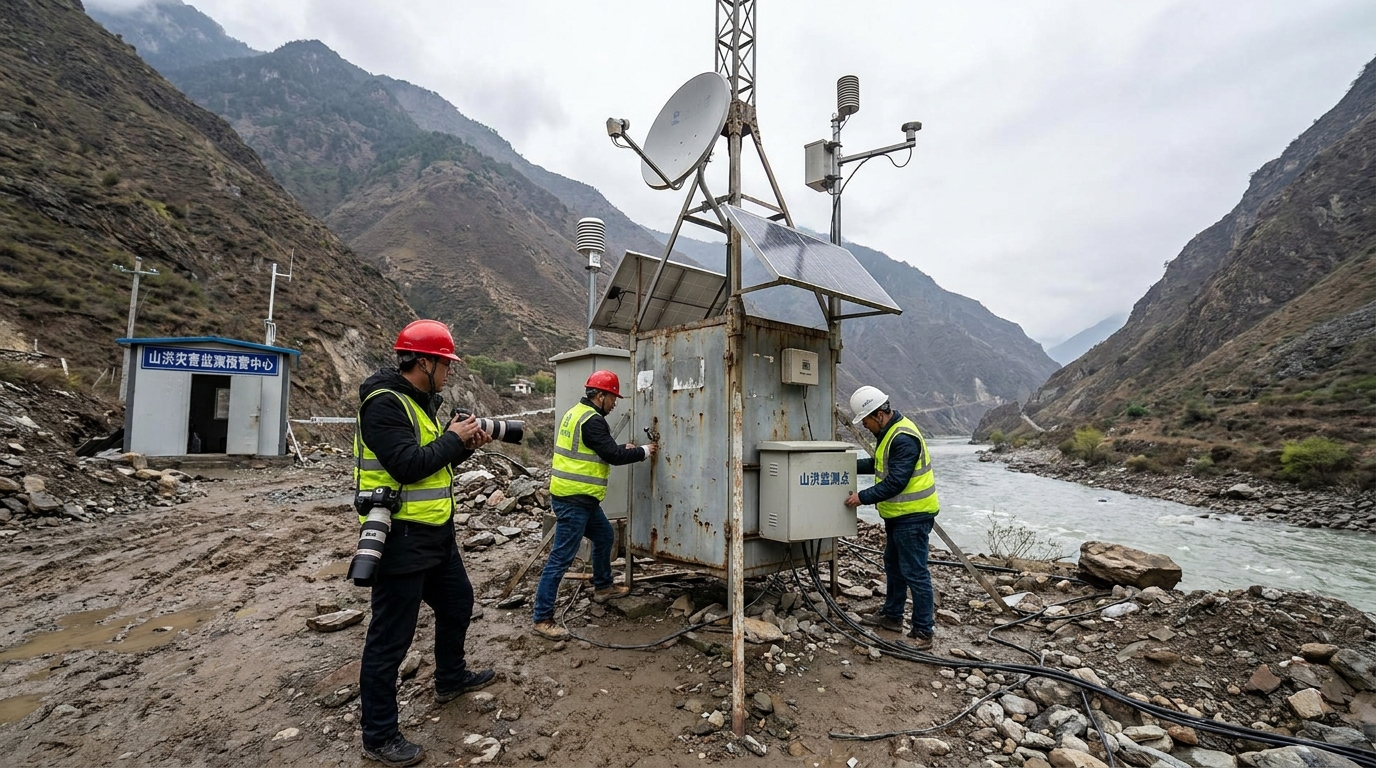
Flash flood monitoring systems are operationally deployed across small-to-medium river basins, riverside villages, and gully-prone landslide zones—where rapid response is critical and connectivity is often unreliable.
A “stair-step” deployment strategy places dense rain gauges upstream to map spatial rainfall distribution, while water level and current meters at choke points, bridges, and confluences dynamically track flood wave propagation and peak evolution.
To overcome the “triple breakage” (power, communication, transport) common in disasters, stations integrate dual-channel 4G/5G + BeiDou satellite short-message transmission—ensuring alarm data reaches command centers and triggers local wireless broadcasts and sound-light alarms downstream—even during total infrastructure failure.
Rainfall Accuracy
Optical & piezoelectric gauges: ±0.1 mm resolution, 1 Hz sampling
Water Level Precision
Radar sensors: ≤2 mm accuracy under torrential rain & fog
Communication Resilience
BeiDou + 4G/5G failover: >99.9% data uptime in remote basins
Intelligence, Modeling & Digital Twin Basin Evolution
The future of flash flood monitoring shifts from threshold-based alerts to AI-augmented hydrodynamic forecasting—fusing historical hydrology, DEM, soil moisture, and real-time sensor data to predict flood arrival time, depth, and extent hours in advance.
Stereoscopic perception expands beyond ground sensors to include meteorological radar, LEO satellite imagery, and drone-based slope deformation monitoring—enabling early detection of secondary hazards like landslides and debris flows.
Digital twin basins—built on 3D GIS—mirror physical terrain, hydraulics, and infrastructure in real time. Commanders run scenario simulations, test dispatch strategies, and visualize flood progression—transforming emergency response from reactive to proactive and evidence-based.
Conclusion: Toward Intelligent, Predictive, and Resilient Water Conservancy
Flash flood monitoring and early warning is no longer just about hardware—it’s a tightly coupled system where edge intelligence, cloud analytics, physics-informed AI models, and human-centered alert delivery converge.
As sensor fidelity improves, model accuracy deepens, and digital twin fidelity increases, the technological defense line against flash floods grows more precise, reliable, and anticipatory—directly supporting national water security and rural resilience goals.
Sustained cross-sector collaboration—from hydrological research institutes to IoT hardware developers and provincial water authorities—is essential to accelerate the high-quality, intelligent transformation of water conservancy informatization worldwide.