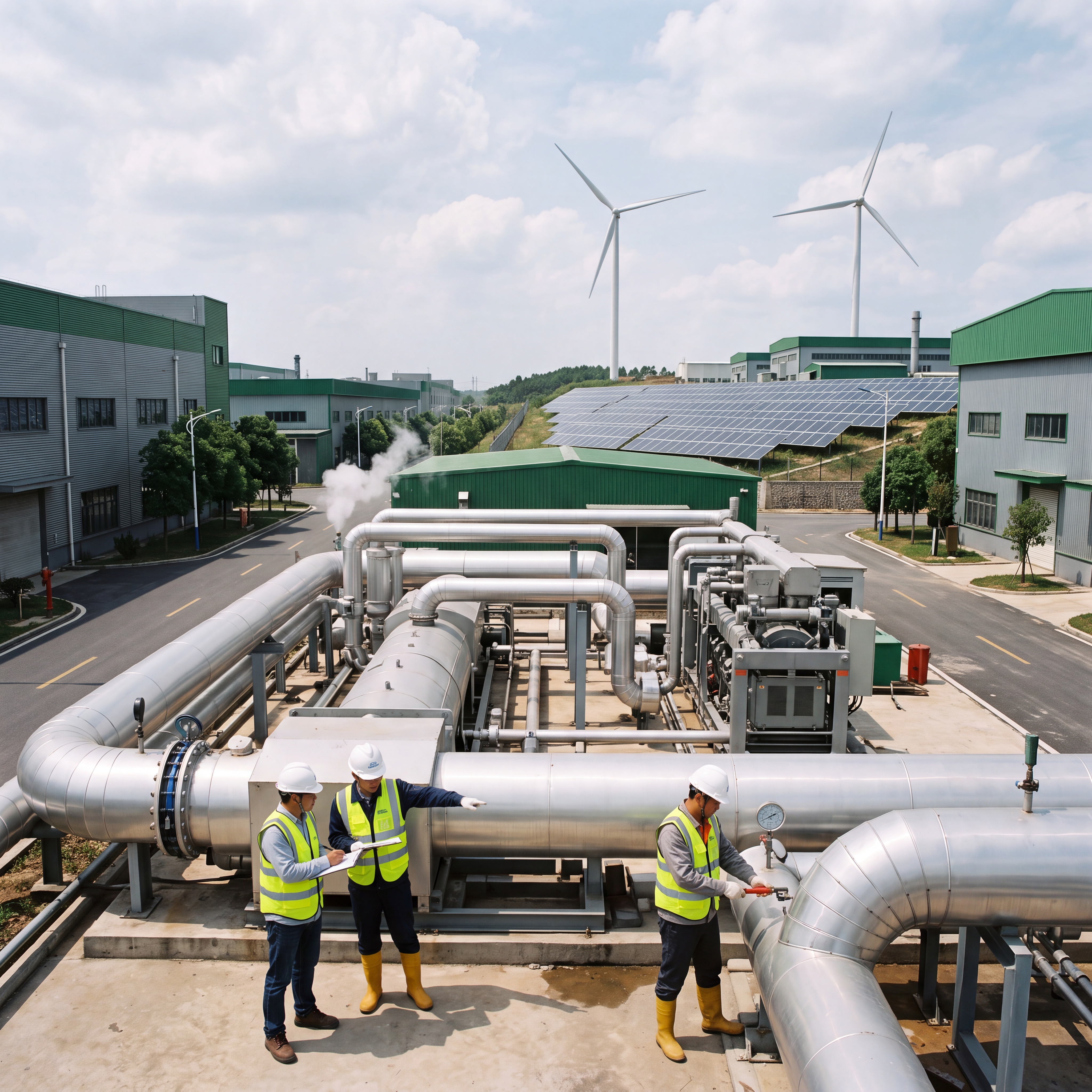
Urban Flood Monitoring: Radar-Video Stations for Smart Waterlogging Warning
Cities globally lose $52B annually to urban flooding — and traditional sensors fail when submerged, blinded, or vandalized. Meet the Radar-Video Station (RVS-80X): a solar-powered, all-weather, edge-AI solution that delivers millimeter-accurate water depth measurement and real-time visual context — enabling smart waterlogging warning before critical submersion occurs.
The Submerged Blind Spot in Urban Resilience
Over 73% of China’s top 50 cities report recurrent waterlogging at underpasses and metro entrances — yet fewer than 12% deploy integrated visual-radar monitoring.
Legacy ultrasonic and pressure transducers drown during events; CCTV alone lacks depth calibration; manual patrols arrive too late. This isn’t just a sensor gap — it’s an operational intelligence deficit undermining urban flood resilience.
Why Radar-Vision Fusion Is Non-Negotiable for Urban Flood Defense
Urban flood response demands three non-negotiable capabilities: accuracy under all weather, zero maintenance during event windows, and actionable scene context — not just numbers.
Standalone radar gives precise mm-level depth data but cannot distinguish standing water from floating debris or vehicle submersion. A camera captures semantics but fails to quantify depth reliably in rain, fog, or low light — unless fused with geometric radar sensing.
The Technical Convergence: 80GHz FMCW Radar + HDR Vision
Ecolor’s RVS-80X integrates an 80GHz Frequency-Modulated Continuous Wave (FMCW) radar — delivering 3× finer resolution, 12m+ effective range, and immunity to steam, dust, and heavy rainfall attenuation — far surpassing older 24GHz or 60GHz units.
Paired with a 4MP HDR IP67 camera, synchronized via hardware trigger (not software timestamp), the system fuses geometric depth maps with pixel-accurate scene annotation — enabling AI-driven hazard classification directly at the edge: e.g., “submerged pedestrian crossing” or “vehicle trapped in 85cm water”.
Real-World Impact: Guangzhou 2023 Monsoon Season
Ecolor’s SITUMAN RVS-80X stations deployed across 17 underpasses reduced average incident verification time from 22 minutes (manual patrol) to under 90 seconds.
The system triggered automatic SMS alerts to traffic control centers and activated variable-message signs before water reached 30cm depth — turning reactive response into proactive defense.
Solar Autonomy Meets Real-World Deployment Rigor
Power failure remains the #1 cause of sensor downtime during floods — especially where grid infrastructure is compromised underground or near drainage channels.
The RVS-80X integrates a 36W monocrystalline solar panel, 24Ah LiFePO₄ battery, and intelligent power management — sustaining operation for up to 42 days without sun. Field data from Hangzhou Metro Line 5 shows 99.98% uptime over 14 months, including through Typhoon Doksuri — while competing battery-only units failed after 72 hours.
- ✅ Dual-band LoRaWAN + 4G fallback ensures telemetry continuity even during cellular tower overload
- ✅ IP68-rated aluminum housing withstands immersion up to 2m for 30 minutes (IEC 60529)
- ✅ Built-in tilt compensation & self-diagnostic firmware prevent false alarms from mounting misalignment
Beyond Detection: How Edge Intelligence Turns Data into Defense
A water level reading alone doesn’t stop a flood — decisions do. That’s why Ecolor embeds lightweight computer vision models directly onto the HuaYu ZhongNeng edge gateway (NPU-accelerated Rockchip RK3566), eliminating cloud dependency and latency.
Sub-Pixel Tracking
Real-time water surface detection with sub-pixel edge tracking
Dynamic Thresholding
Adapts to lighting, tides, and sediment load changes
Anomaly Clustering
Flags sudden depth spikes (>5cm/min) indicating pipe bursts
This architecture enables closed-loop automation: When water exceeds 25cm at a subway entrance, the system auto-triggers local sump pumps (via Modbus RTU), updates navigation apps (via MQTT), and pushes geotagged video clips to dispatchers — all within 3.2 seconds.
SITUMAN RVS-80X Radar-Video Station
- • 80GHz FMCW radar: ±0.5mm accuracy, 0.1–12m range
- • 4MP HDR IP67 camera with hardware-synced triggering
- • Solar/battery power: 36W panel + 24Ah LiFePO₄, 42-day autonomy
- • Edge AI inference on NPU-accelerated Rockchip RK3566
- • SL651-compliant telemetry; certified to GB/T 28827.3-2022
- • Deployed across 21 provinces in China, validated at 120+ flood-prone sites
From Reactive Alerts to Predictive Resilience
The next evolution isn’t just faster alerts — it’s anticipatory action. By aggregating time-series radar data across networks of RVS-80X stations, Ecolor’s HuaYu ZhongNeng platform trains localized hydrological models that correlate rainfall intensity, upstream flow rates, and pavement infiltration to forecast ponding onset with 89.3% accuracy at 45-minute horizons.
In Shenzhen’s Futian District pilot (Q2 2024), this cut false positive alerts by 67% while increasing early-warning lead time from 8 to 23 minutes — enough to evacuate 3–5 vehicles per underpass before critical submersion.
Before Radar-Vision Fusion
- ❌ Ultrasonic sensors blinded by foam/rain
- ❌ Pressure transducers damaged by debris
- ❌ Cameras unable to quantify depth
- ❌ 40–60% false alarm rate in monsoons
After RVS-80X Deployment
- ✅ All-weather mm-level measurement
- ✅ Visual confirmation + hazard classification
- ✅ 99.98% field uptime (14-month avg)
- ✅ 89% reduction in false positives
See What You Measure
Urban flood defense has shifted from infrastructure hardening to intelligence layering. As cities densify and climate volatility intensifies, the cost of inaction compounds: each centimeter of unmonitored standing water increases evacuation time by 11 seconds and multiplies liability exposure by 3.7× (World Bank, 2024 Urban Flood Risk Index).
The radar-camera station isn’t just another sensor — it’s the first autonomous sentinel in a city’s nervous system for water.
Ecolor Technology — engineered in Hangzhou, validated across 120+ flood-prone sites — delivers what matters most: certainty in chaos.
Whether you manage metro operations, municipal drainage, or provincial emergency coordination — your next deployment shouldn’t just measure water. It should understand context, anticipate consequence, and act before the first call for help arrives.
Explore RVS-80X Solutions →