In-Depth Comparison of Four Technical Routes for Urban Waterlogging Early Warning
Urban Flood Prevention • Technology Analysis • Smart City Solutions
Introduction: The "Lead Time" Competition in Extreme Rainfall
In recent years, short-duration heavy rainfall, peripheral rainbands of typhoons, and localized severe convective weather have frequently impacted the safety of urban operations. Public meteorological data shows that during the extraordinary rainstorm in Zhengzhou on July 20, 2021, the maximum hourly rainfall reached 201.9 mm, far exceeding the carrying capacity of conventional drainage systems and causing severe urban waterlogging. Since then, cities such as Beijing, Guangzhou, Shenzhen, Wuhan, Chengdu, and Zhengzhou have continuously strengthened waterlogging monitoring, early warning dissemination, and emergency coordination during the flood season.
The focus of urban flood prevention is shifting from "post-rain emergency rescue" to "pre-rain early warning, in-rain dispatch, and post-rain review". Unlike general floods, urban waterlogging is characterized by strong suddenness, small spatial scale, rapid disaster formation, and high risks to traffic and underground spaces. An underpass tunnel, a low-lying intersection, or an underground garage can form significant ponding within 10 to 30 minutes. Therefore, waterlogging early warning systems cannot rely solely on weather forecasts or manual patrols; they must integrate rainfall monitoring, radar nowcasting, ponding sensing, drainage network modeling, warning dissemination, and emergency coordination.
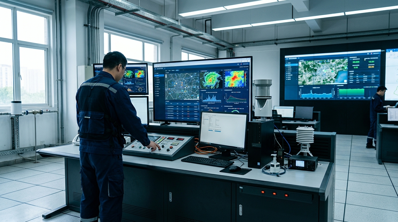
Industry observation suggests that urban waterlogging early warning has entered a stage of parallel comparison of multiple technological routes and scenario-based combined selection.
Technical Framework: A Closed Loop System
Urban waterlogging early warning is not a single equipment issue, but a closed-loop system comprising monitoring, forecasting, simulation, analysis, dissemination, and handling. The complete framework typically includes four layers:
- Layer 1: Monitoring – Rain gauges, weather radar, water level gauges, ponding sensors, and video surveillance.
- Layer 2: Nowcasting – Radar echo extrapolation, numerical forecasting, and AI algorithms to predict rainfall location and intensity (10 mins to 2 hours).
- Layer 3: Simulation – Hydrological and hydrodynamic models calculating confluence processes on surfaces, in pipe networks, rivers, and underpasses.
- Layer 4: Dissemination – Pushing risk information to command centers, traffic management, communities, and the public.
When evaluating a system, key indicators include spatial resolution (blocks/tunnels), temporal resolution (5–10 minutes), ponding depth error (±1–3 cm), and lead time (>15 minutes). For urban managers, simply pursuing "advanced equipment" is insufficient; it is crucial to form a closed loop of "measurable, reportable, transmittable, and actionable".
1. Rain Gauges & Manual Patrols
The Traditional Foundation
Tipping bucket rain gauges offer mature technology and low cost with 0.2 mm resolution. However, they struggle to capture localized severe convection. In built-up areas, if station spacing exceeds 3–5 km, the ability to detect severe weather declines significantly.
Limitations
- Cannot reflect patchy rainfall accurately.
- Manual patrols are slow (10-30 min delay) and risky at night.
2. Weather Radar & Nowcasting
Key to Lead Time
S-band/C-band radars cover large areas, while X-band offers high-resolution urban monitoring. Radar allows prediction of rainfall location 10–60 minutes ahead, buying critical time for pump stations and traffic control.
Challenges
- Requires calibration against rain gauges (error >20% without it).
- Subject to blockage by buildings/mountains.
- Cannot directly measure ground ponding depth.
Route 3: Ponding Sensors & Video AI
Ponding monitoring is the most direct link to risk confirmation. Common equipment includes radar/ultrasonic water level gauges (non-contact, accurate to ±1-3cm) and pressure gauges (low cost but prone to silt errors).
Industry Threshold Standards
- 15 cm: Affects passage of some small vehicles.
- 20–30 cm: Significantly increases traffic risks.
- >40 cm: Causes vehicle stalling and potential personnel trapping.
Video Surveillance & AI has been rapidly promoted, reusing existing traffic cameras to judge ponding area and vehicle wading via image recognition. While effective for visual command and reducing false alarms, it struggles with accuracy in heavy rain curtains or without reference objects (like rulers). It is best used in combination with physical sensors.
Route 4: Hydrological Models & Digital Twins
If sensors solve "where the water is," models solve "where the water will flow and how much more it will rise." Using software like SWMM or MIKE URBAN, these systems couple rainfall runoff, pipe network confluence, and surface overland flow.
The value lies in predicting unoccurred risks. For example, if radar forecasts 50mm of rain in 30 minutes, the model can predict which intersections will flood and which pump stations need pre-pumping. However, this route has a high threshold: it requires high-quality terrain data (1-5m resolution), complete pipe network surveys, and significant computing power for real-time updates.
Selection Recommendations
Selection should avoid "equipment-only" approaches. The general principle is: Identify high-risk scenarios first, then configure capabilities.
General Roads & Low Budgets
Prioritize rainfall monitoring and key point ponding sensors (top 20% highest risk points). Ensure warning info reaches streets and traffic police immediately.
Underpasses & Tunnels
Core requirement: Real-time ponding confirmation. Use "Water Level Gauge + Video AI + On-site Warning". Trigger alerts at 20cm, prepare closure at 30cm, control traffic at 40cm.
Megacities & Hubs
Strengthen X-band radar and nowcasting. Form rainfall products with <1km resolution and 5-minute updates. Link with flood prevention plans for rapid response.
Data-Rich Cities
Build hydrological/hydrodynamic models and multi-source fusion platforms. Aim for 15+ minute lead times and automated work order dispatch.
Conclusion: Multi-Source Fusion for Resilient Cities
The future of urban waterlogging early warning relies not on a single technology, but on the fusion of radar (capturing rain), sensors (confirming risk), video (visual evidence), and models (predicting trends). Ultimately, technology must serve people, plans, and on-site handling to form a true closed loop.
Technological systems cannot replace infrastructure enhancement. Drainage reconstruction, sponge city construction, and grassroots drills remain equally important. For flood prevention departments, rationally assessing their own data foundation and selecting a suitable technological combination is more practically significant than pursuing a single "most advanced" solution.

