An In-Depth Comparison of Four Technical Pathways for Urban Waterlogging Early Warning
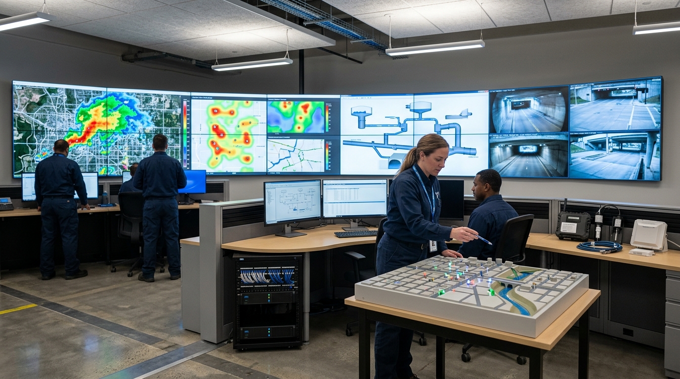
As the frequency of extreme rainfall events increases, urban flood prevention is shifting from “post-disaster response” to “advance warning.” A short-duration heavy rainstorm can cause standing water in underpasses, low-lying road sections, and underground spaces within tens of minutes, leaving administrators limited response time. Keywords such as standing water, warning, radar, and flood prevention reflect the practical demand of urban safety governance for technical systems. Urban baseline conditions vary widely, so there is no single optimal technical approach; the key is combined selection tailored to risk scenarios.
From “Watching the Sky” to “Watching the Water”: Entering the Multi-Source Sensing Stage
Urban pluvial flooding is not simply “heavy rain causes flooding.” Rainfall intensity, duration, terrain low-lying degree, pipe network drainage capacity, river backwater effects, pump station efficiency, and surface imperviousness all affect standing water formation. In industry practice, heavy rainfall above 50 mm/h can produce 10 to 20 cm of standing water on low-lying roads within 30 minutes. When standing water reaches 30 cm, the risk for ordinary passenger cars significantly increases; at 50 cm, pedestrian passage and underground space safety are threatened. Therefore, early warning must focus not only on “water in the sky,” but also on “whether standing water exists on the ground.”
For city administrators, the priority is not pursuing a single advanced device, but establishing an early warning system matched to local fiscal capacity, data foundation, and risk level.
1. Meteorological Radar Approach: Greatest Lead Time, But Requires Localization
Meteorological radar is crucial for obtaining rainfall information. Compared with ground rain gauges, radar observes rainfall echoes over large areas continuously, suitable for identifying severe convection and moving rain bands. In nowcasting, radar data can indicate heavy rainfall areas tens of minutes in advance, buying time for pump station pre-discharge, gate pre-lowering, and tunnel closure.
- X-band dual-polarization radars: Coverage radius ~30–50 km, spatial resolution ~1 km, update cycles 5–6 minutes.
- C-band radars: Coverage radii 100–150 km, resolutions ~4.5 km, update cycles 6–10 minutes.
- Accuracy: Quantitative precipitation estimation errors are generally controlled at 10%–20%, though they may increase in complex terrain or rapidly evolving convective scenarios.
The advantage of radar is that it “sees far and sees fast.” However, its shortcomings are obvious: radar measures “rain,” but cannot directly measure “standing water.” High-rise buildings and metal facilities cause blockage and sidelobe interference. Therefore, radar is more suitable as a regional command tool rather than the sole basis for low-lying point closure decisions.
2. Rain Gauge and Water Level Gauge Approach: Intuitive Data, Limited Spatial Coverage
These are the most traditional and easiest to deploy approaches. Rain gauges capture rainfall intensity, while water level gauges judge changes in rivers and pump stations. Standing water sensors directly reflect depth on roads and tunnels. These devices offer intuitive data and controllable costs, making them suitable for cities with existing flood-prone point lists.
Common Industry Thresholds for Road Standing Water:
- 10 cm: Notification
- 20 cm: Alert
- 30 cm: Traffic Control
- 50 cm: Pedestrian Access Prohibition
After deploying standing water sensors at 86 flood-prone points, one city shortened the average detection time from ~30 minutes (manual patrol) to ~8 minutes. However, the weakness is insufficient spatial coverage. Installing sensors everywhere imposes high maintenance pressure due to sediment blockage, leaf obstruction, and calibration drift. This approach is best used for “key-point monitoring,” combined with radar large-area monitoring.
3. Video Surveillance and AI Approach: Site Recognition, Susceptible to False Alarms
By reusing existing public security and traffic cameras, cities can obtain footage without adding many new sensors. AI algorithms identify water surface reflection, disappearing road boundaries, and vehicles wading through water. Under good daytime conditions, localized trained algorithms can achieve accuracy rates of 80%–90%.
However, video AI cannot replace physical sensors. Nighttime illumination issues, heavy rain curtains, tree occlusion, and camera angle changes cause false alarms or missed detections. Image-based water depth estimation has limited accuracy and should not be used as a rigid threshold for traffic closure. It is prudent to use video recognition as an auxiliary verification measure: when a water level gauge alarms, video pops up for manual confirmation.
4. Hydrological and Hydrodynamic Model Approach: Future Risk Simulation, High Calibration Costs
The core value of modeling is simulating future risks by inputting rainfall, pipe networks, elevation, and operating status. Tools like SWMM, InfoWorks ICM, and HEC-RAS calculate standing water depth, extent, and duration. Model accuracy depends heavily on foundational data: Digital Elevation Models need 0.5–1 m accuracy, and pipe network data completeness should exceed 80%.
An old urban district used a model to simulate a 50-year return period rainfall scenario, identifying 37 potential high-risk points. During subsequent heavy rain, predicted depths had errors within 10–20 cm compared to actual monitoring. However, if continuous calibration is lacking, the system becomes “complex but impractical.” Illegal pipe connections and sudden river level changes significantly affect results.
Infrastructure Enablers: IoT, Edge Computing, and Multi-Source Fusion
IoT and Edge Computing: Solve the link “from site to platform.” NB-IoT suits routine monitoring (second-to-minute latency), while 5G edge computing compresses judgments to within 100 ms for rapid responses like tunnel closures. Ideally, issuance time should be under 5 minutes. Note that if terminal online rate falls below 95%, system reliability decreases significantly.
Multi-Source Fusion and Digital Twin: Unifies radar trends, sensor measurements, video verification, and model simulations into a spatiotemporal framework. Operational platforms typically update every 5–15 minutes. While powerful, this approach requires 1–3 years for construction and faces obstacles in inconsistent data standards across departments (meteorology, water affairs, transportation, etc.). It is best suited for megacities with existing digital foundations.
Selection Recommendations and Outlook
Technical approach selection should start from risk level, fiscal capacity, and data foundation:
Small Cities / County-Level
Combine key rain gauges, water level gauges, video assistance, and simplified models. Prioritize coverage of underpasses, schools, hospitals, and pump stations.
Medium-Sized Cities
Introduce meteorological radar or shared regional data. Build high-density standing water networks and integrate IoT platforms with drainage dispatch processes.
Megacities / Metropolitan Areas
Advance dual-polarization radar networking, multi-source fusion, hydrodynamic modeling, and digital twin coordination for a closed-loop system.
Threshold setting should adhere to a conservative principle. For general roads, reference thresholds may be 10 cm for notification, 20 cm for alert, 30 cm for traffic control, and 50 cm for pedestrian access prohibition. Underpasses and underground parking entrances should be warned earlier and closed faster.
Looking ahead, urban pluvial flooding early warning will move from “single-point alarms” to “risk prediction,” and from “manual duty” to “automatic coordination.” Whether technical approaches truly work depends on foundational data quality, device operation capability, and organizational mechanisms. Only when radar, sensors, models, video, and IoT operate collaboratively can cities detect risks earlier and complete response faster before heavy rainstorms arrive.

