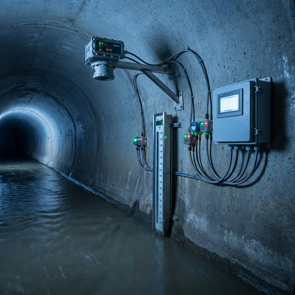
High-Density Doppler Radar Flow Monitoring for Urban Drainage — Whitepaper Solution
A comprehensive whitepaper solution for high-density urban drainage flow monitoring based on multi-band Doppler radar flow meters and visual fusion radar level gauges. Covers the complete technical architecture from sensor layer to cloud platform, enabling full coverage of critical nodes, millisecond-level real-time response, and centimeter-level water level accuracy for drainage digital twin modeling and flood early warning.
Overview
Summary
A comprehensive whitepaper solution for high-density urban drainage flow monitoring based on multi-band Doppler radar flow meters and visual fusion radar level gauges. Covers the complete technical architecture from sensor layer to cloud platform, enabling full coverage of critical nodes, millisecond-level real-time response, and centimeter-level water level accuracy for drainage digital twin modeling and flood early warning.
Key Advantages
Challenges
- How to achieve high-density coverage across numerous drainage network nodes at reasonable cost?
- Harsh underground environments cause traditional contact sensors to clog, fail, and require frequent maintenance
- Lack of effective technical means for combined sewer overflow (CSO) monitoring during rainfall
- How to unify multi-source heterogeneous data for city-scale digital twin modeling?
- Monitoring blind spots delay flood warnings, lacking real-time decision support data
Results
- Monitoring density up to 10–15 points/km², achieving 100% coverage of critical trunk main nodes
- Non-contact radar technology delivers MTBF exceeding 5 years, reducing O&M costs by 70%
- Flow velocity accuracy ±0.01 m/s, water level accuracy ±1 mm, meeting drainage model input requirements
- Edge computing RTU supports 14-day offline data buffering, ensuring data integrity
- After deployment in a pilot city, flood warnings advanced by 30 minutes, emergency response efficiency improved by 50%
Solution Details
High-Density Doppler Radar Flow Monitoring for Urban Drainage — Whitepaper Solution
High-density real-time monitoring of urban drainage networks is a core challenge for modern city water management. This whitepaper solution proposes a complete, deployable high-density flow monitoring architecture based on multi-band Doppler radar flow meters (non-contact), visual fusion radar water level gauges, and EC32 Remote Telemetry Units (RTU).
System Architecture: Three-Tier Edge-Cloud Design
The solution adopts a three-tier "Edge-Cloud" architecture. At the edge, Doppler radar flow meters and radar level gauges are deployed at critical drainage network nodes (trunk main intersections, flood-prone points, pump station inlets/outlets, CSO points). At the edge computing layer, EC32 RTUs handle local data acquisition, edge computing, and protocol conversion. At the cloud layer, an IoT platform aggregates city-wide drainage data for digital twin modeling and AI analysis.
Core Advantages of the Multi-Band Doppler Radar Solution
- Non-contact measurement — no need for confined-space entry, immune to sludge entanglement, low maintenance cost
- Multi-band Doppler technology measures flow velocity, flow rate, water level, and water temperature simultaneously
- Visual fusion radar level gauge provides HD imagery + radar dual-mode data for remote manual verification
- EC32 RTU supports 4G/5G/NB-IoT multi-mode communication with built-in edge computing and 14-day offline data buffering
Product Features at a Glance
Multi-band Doppler Radar
Non-contact measurement of velocity, flow, level, and temperature
Visual Fusion Radar Level Gauge
HD image + radar dual-mode, remote manual verification
EC32 RTU
4G/5G/NB-IoT multi-mode communication, IP68 rated
Three-tier Edge-Cloud Architecture
Edge computing + cloud digital twin platform
Low-power Design
Solar + battery, suitable for underground sites without mains power
Application Scenarios for Urban Drainage Monitoring
Trunk main flow monitoring, flood-prone point water accumulation warning, CSO monitoring, drainage pump station efficiency assessment, pipeline siltation analysis, drainage system digital twin modeling. Successfully deployed in multiple cities with monitoring density up to 10–15 points per km².
Approach
How we implement intelligence into your infrastructure step by step.
Requirements Survey & Node Planning
Map drainage network topology and identify critical monitoring node locations and density requirements based on hydraulic modeling
Equipment Selection & Deployment
Select Doppler radar flow meter or radar level gauge configuration based on node characteristics (pipe diameter, velocity range, power availability)
RTU Communication Networking
Deploy EC32 RTUs with 4G/5G/NB-IoT multi-mode communication to establish reliable edge-to-cloud data channels
Platform Integration & Modeling
Ingest data into IoT platform, build drainage network digital twin model, configure alert rules and AI analysis algorithms
O&M & Continuous Optimization
Remote O&M with periodic inspections; continuously optimize monitoring models and alert thresholds based on historical data
Recommended Hardware
Essential components for this solution.
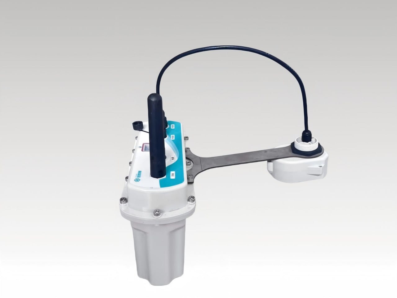
Visual Fusion Radar Water Level Gauge
The Visual Fusion Radar Water Level Gauge series is independently innovated and developed by Ecolor....
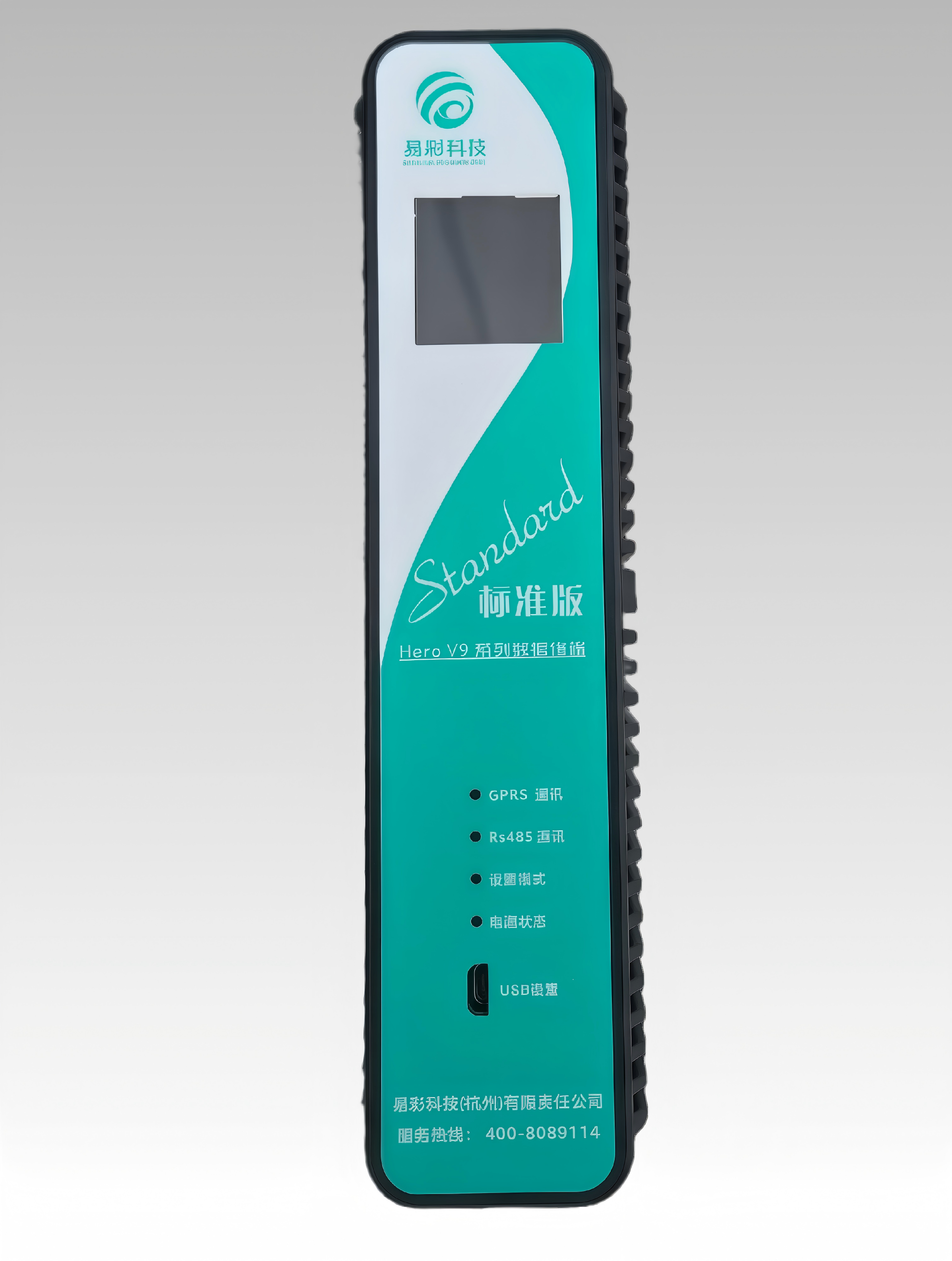
HERO V9-EC32 Hydrology RTU | Remote Terminal Unit
This product has the functions of remote data collection, control and communication. It can receive ...
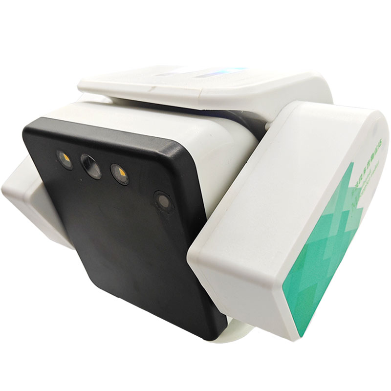
Visual Fusion Multi-band Doppler Radar Flow Meter
The Multi-band Doppler Radar Flowmeter is an independently developed and innovated non-contact fluid...
❓ Related FAQs
Related Solutions
Low-Cost DMA District Metering Rapid Deployment System
Urban Drainage Pipeline Downhole Non-Contact Sensing System Architecture Whitepaper
AI-Driven Water Network Leakage Intelligent Analysis and Precision Positioning Solution

Ready to Optimize Your Business?
Contact us, and our professional team will provide customized solutions to help your business achieve digital transformation.
Get In Touch