Fortifying the Water Security Frontier: Latest Technology Advances in Hydrological Monitoring Systems
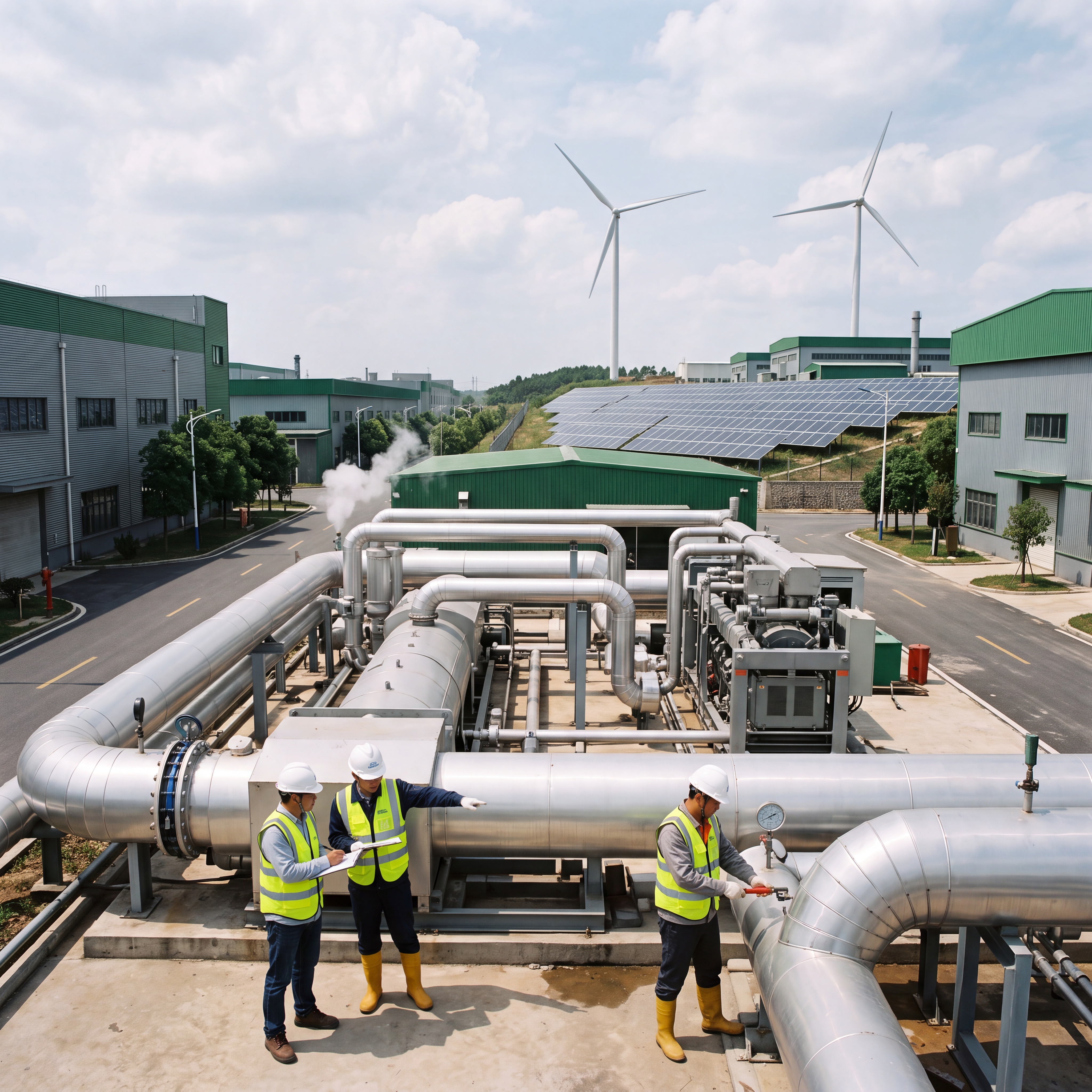
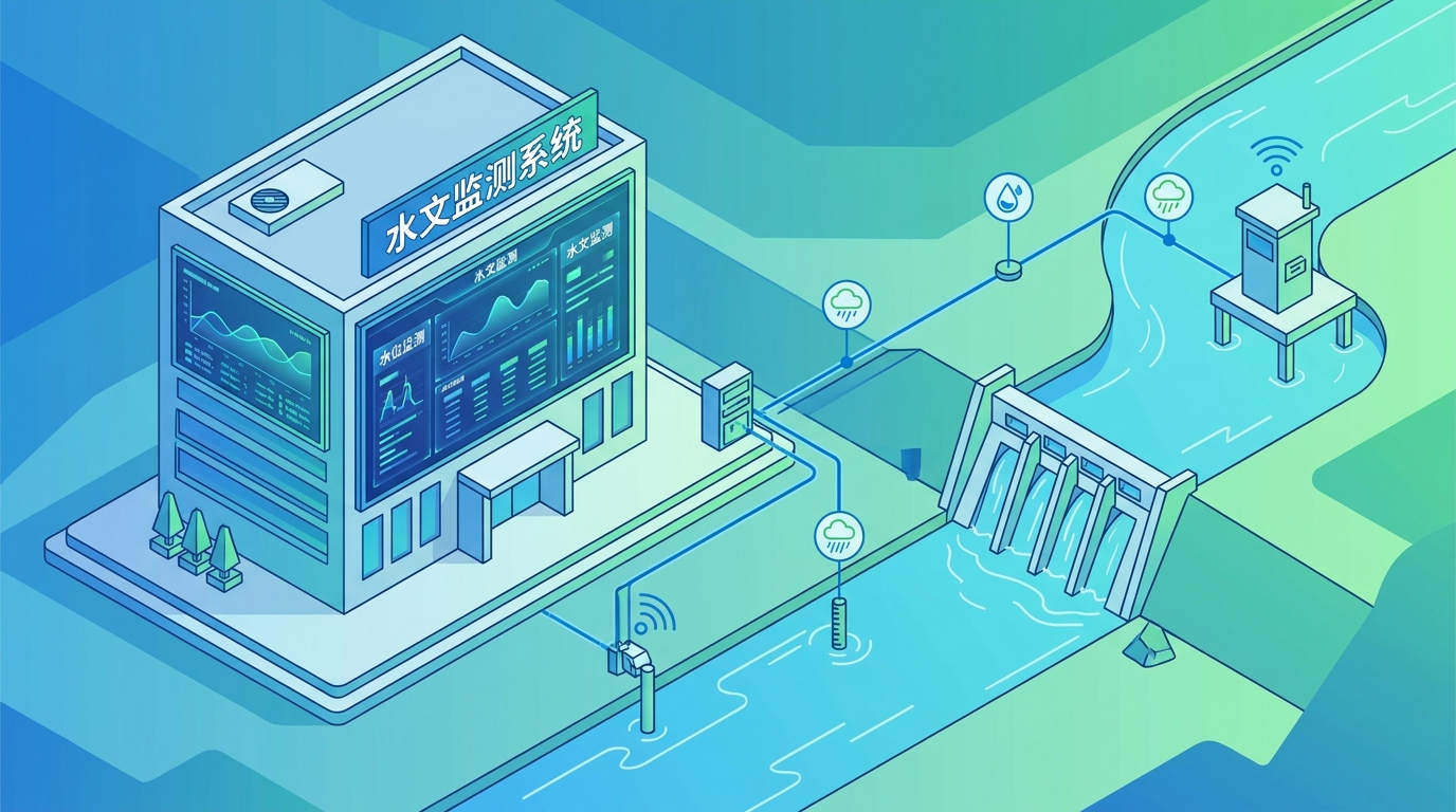
In an era defined by climate volatility, modern hydrological monitoring systems have evolved into the critical "eyes and ears" of global water security. By leveraging advanced multi-dimensional sensing and real-time data transmission, these systems provide the objective, millimeter-level accuracy required for flood control, drought relief, and sustainable resource scheduling across rivers, urban networks, and agricultural zones.
The Evolution of Non-Contact Sensing Technology
Traditional manual observation has been replaced by automated, intelligent multi-dimensional sensing. Radar and ultrasonic water level gauges are now the industry standard, offering robust anti-interference capabilities that remain unaffected by water turbidity, sediment, or temperature gradients.
For complex flow fields, Acoustic Doppler Current Profilers (ADCP) and surface wave velocity meters enable non-contact, continuous monitoring of cross-sectional discharge. These innovations ensure all-weather, millimeter-level acquisition of dynamic water changes, forming the bedrock of accurate hydrological reporting.
IoT Integration and Autonomous Power Solutions
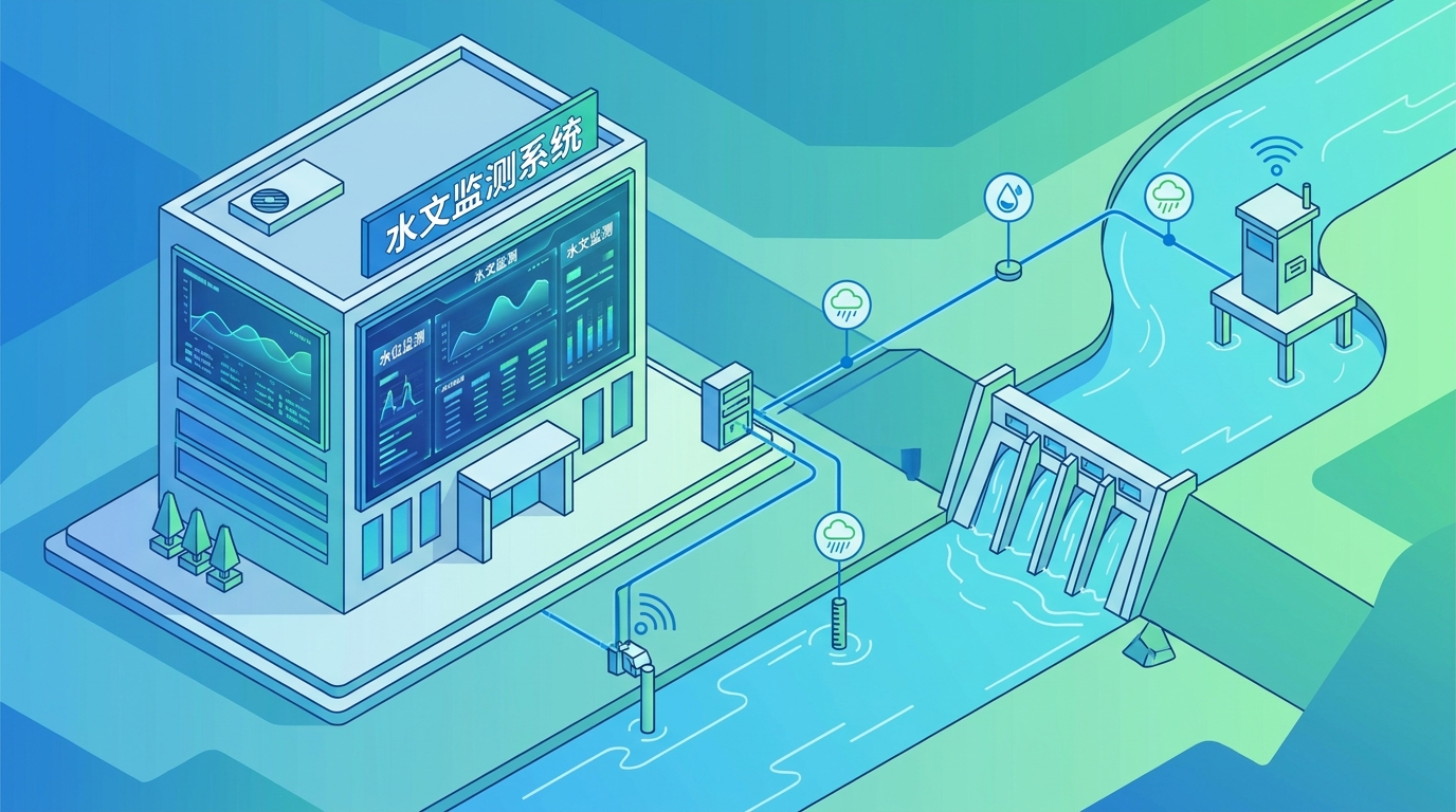
The fusion of Internet of Things (IoT) technologies with new energy solutions has broken geographical constraints in data collection. Redundant communication protocols including 4G/5G, BeiDou satellite messaging, and NB-IoT ensure high-reliability data backhaul even in deep gorges or during extreme weather events.
Coupled with low-power system designs and solar or micro-hydroelectric generation, unmanned field stations now achieve long-term, stable operation without human intervention. This effectively bridges the "last mile" from front-end perception to cloud computing centers, ensuring no data gaps occur during critical disaster periods.
Major River & Flood Control
Full-element monitoring stations at reservoir dams and flood storage areas track key indicators like rainfall, evaporation, and soil moisture. High-frequency data integration supports scientific reservoir scheduling and flood evolution analysis.
Urban Drainage & Smart Cities
Miniaturized nodes deployed in underpasses and tunnels trigger early warnings for standing water. These systems link directly with pump stations and traffic management to mitigate localized heavy rain disasters.
Agricultural Irrigation
Precise measurement of channel flows enables demand-based water supply and precise metering. This drives the transition from traditional agriculture to efficient water-saving farming practices.
Ecological Restoration
Routine monitoring in ecologically fragile small rivers provides foundational data for ensuring ecological flows. This supports vital water ecological restoration efforts and biodiversity protection.
AI-Driven Predictive Reporting and Digital Twins
Future hydrological reporting is shifting from passive data collection to "active prediction" through the coupling of Artificial Intelligence and Edge Computing. Front-end equipment will perform data cleaning and preliminary modeling locally, significantly reducing bandwidth pressure while enhancing warning timeliness.
On the cloud side, machine learning algorithms train hydraulic models to predict basin water levels hours or days in advance. Concurrently, the construction of Digital Twin Basins integrates BIM and GIS technologies, allowing command personnel to simulate flood scenarios and rehearse scheduling plans in a virtual environment before physical implementation.
Air-Space-Ground Integrated Stereoscopic Monitoring
Relying solely on ground stations presents spatial limitations, which are being overcome by integrating high-resolution remote sensing satellites and UAV-mounted LiDAR patrols. This multi-source heterogeneous data fusion eliminates monitoring blind spots entirely.
The resulting comprehensive, high-frequency, multi-scale perception system vastly improves macro-control capabilities and micro-insight into sudden water events. This integrated approach ensures a holistic view of water resources, supporting more effective decision-making for national water security.
Summary: The Future of Water Security
As the cornerstone of modern water conservancy, hydrological monitoring systems are undergoing unprecedented technological iterations. From AI-driven edge computing to stereoscopic air-space-ground networks, these advancements are essential for coping with complex natural disasters and socio-economic demands.
Continued deep cultivation of underlying sensing technologies and interdisciplinary convergence will enhance the accuracy, timeliness, and intelligence of hydrological reporting. This evolution is not only a technical necessity but a critical support for achieving harmonious coexistence between humans and water globally.