The latest technology advances in river level monitoring are reshaping the industry through IoT integration, transitioning from manual observation to high-precision digital automation. By leveraging radar, ultrasonic, and submersible sensors combined with NB-IoT and 5G connectivity, modern systems achieve millimeter-level accuracy and real-time data synchronization, effectively dismantling information silos to empower comprehensive watershed perception and flood safety.
IoT-Driven River Level Monitoring Technology
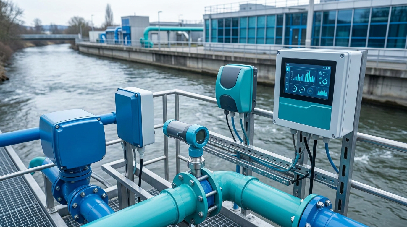
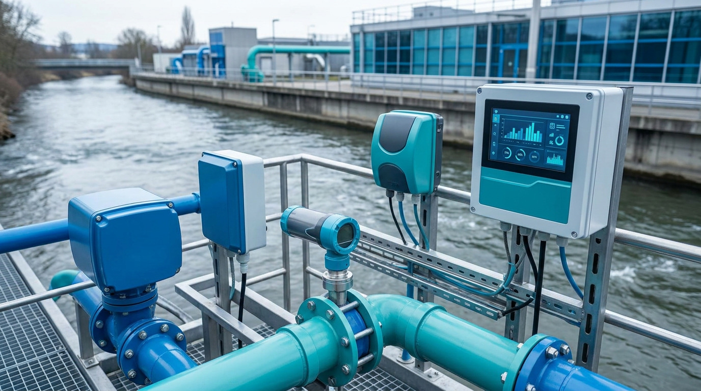
Modern river level monitoring has comprehensively transitioned from manual observation to a digital and automated era. The widespread adoption of IoT water level gauges, including radar, ultrasonic, and submersible pressure transducers, is the primary driver of this evolution. These devices effectively overcome external interferences such as adverse weather, surface wave fluctuations, and sediment accumulation.
Leveraging advanced sensing technologies, these instruments achieve millimeter-level precision in measuring river levels. When integrated with transmission technologies like NB-IoT, 4G/5G, and BeiDou satellite communications, data is synchronized to cloud centers with minimal latency. This "end-to-cloud" model lays a solid data foundation for comprehensive watershed perception.
Real-Time Flood Control Warning Systems
Flood control warning represents one of the most critical needs in river level monitoring, especially during intense rainfall periods. A widely distributed network of IoT water level gauges enables 24/7 real-time monitoring of main tributaries, flood-prone areas, and reservoir dams. Once levels breach designated warning thresholds, the system automatically triggers backend alert mechanisms.
Alerts are immediately disseminated to command personnel and downstream populations via SMS, multimedia platforms, and audio-visual alarms. This dynamic warning mode based on real-time data significantly shortens emergency response times, securing valuable lead time for evacuation and resource allocation.
Precision Water Resource Management
Beyond emergency prevention, high-frequency river level monitoring plays an irreplaceable role in routine water resource management. By analyzing long-term data, departments can precisely grasp spatiotemporal distribution characteristics of water volume across watersheds. During peak agricultural irrigation, data guides reservoir gate operations to ensure farmland needs while preventing waste.
In drought seasons, real-time monitoring helps strictly maintain ecological base flows, preventing ecosystem degradation caused by channel drying. Complex decisions such as inter-basin water transfer and urban supply network scheduling rely heavily on this continuous data support to maximize efficiency.
Future Trends: Intelligence & Digital Twins
AI & Edge Computing
Machine learning integrates rainfall forecasts and terrain morphology to shift from passive monitoring to active anticipation.
Digital Twin Watersheds
Physical river changes are mapped in virtual space, providing intuitive 3D visualization for flood drills and dispatch simulations.
Low-Carbon Hardware
Ultra-low power designs and solar/micro-hydro energy harvesting drive maintenance-free, long-lasting operation.
Conclusion: Building a Hydrological Neural Network
The modern river level monitoring system, underpinned by IoT technology, is profoundly transforming traditional hydrological perception modes. Facing increasingly complex water security challenges, the continued promotion of sensor innovation and digital transformation will be the shared vision of the entire industry.
By constructing a more three-dimensional and sensitive "hydrological neural network," we can strengthen defense against natural disasters and provide powerful technological support for achieving harmonious coexistence between humans and water. This approach promotes the sustainable utilization of resources for future generations.