Latest Technology Advances in River Level Monitoring for Smart Water Management
In the face of intensifying climate variability, accurate and real-time river level monitoring has evolved from a technical requirement into a critical frontline defense for safeguarding lives and property. Fueled by the deep integration of IoT sensors, big data analytics, and next-generation communication networks, traditional hydrological methods are undergoing an unprecedented digital transformation to ensure scientific management of water resources.
IoT-Based Sensors Drive Comprehensive Upgrades in River Level Monitoring
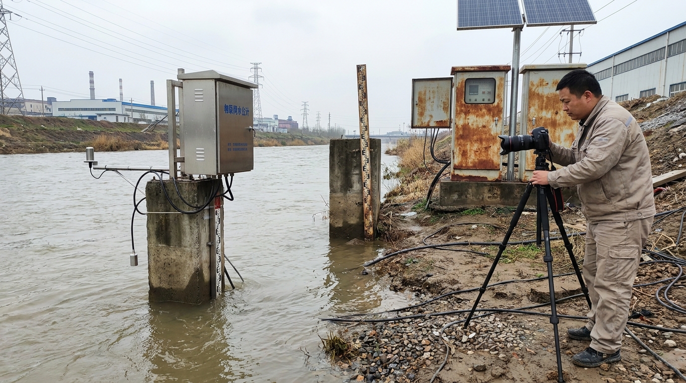
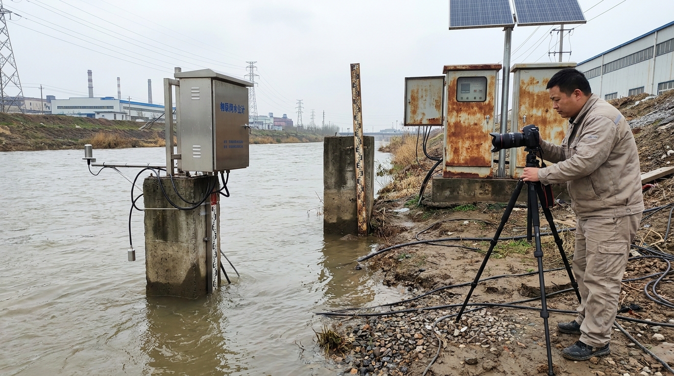
Historically, river level monitoring relied heavily on manual field inspections or mechanical staff gauges, methods plagued by latency and measurement inaccuracies. Today, the sector has decisively transitioned into an automated, digital era centered on the IoT-enabled water level sensor. These devices deliver continuous, reliable, and remotely accessible data, serving as the indispensable front-end perception layer for modern smart water systems.
Commercially deployed sensors predominantly leverage four physical principles: radar, ultrasonic, laser, and submersible pressure transduction. Among these, non-contact radar sensors stand out for their millimeter-level precision and exceptional environmental resilience against turbid water and floating debris. By emitting electromagnetic waves and analyzing reflection times, they remain unaffected by conditions that routinely compromise contact-based alternatives.
Communication Technologies
Integration of NB-IoT, LoRa, and multi-mode 4G/5G cellular connectivity ensures seamless, secure data transmission.
Data Processing
Encrypted data transmitted wirelessly to cloud platforms within seconds eliminates information silos.
Strategic Applications in Flood Early Warning and Water Governance
Intelligent river level monitoring serves two strategic domains: flood risk mitigation and ecological water resource management. First and foremost is flood early warning, where timing is everything during rapidly evolving flood seasons. By deploying high-density IoT sensor networks, basin authorities can establish a 24/7, three-dimensional dynamic monitoring system that triggers multi-channel warnings via SMS or local alarms when thresholds are exceeded.
This data-driven "early detection, early warning, early action" paradigm significantly shortens decision-to-response cycles, remaining the single most effective lever for minimizing flood-related losses. Beyond disaster response, sustained river level records underpin ecological protection and operational water allocation. Continuous monitoring at key confluence sections enables precise assessment of ecological base-flow adequacy, preventing harmful outcomes like river desiccation or eutrophication.
Emerging Trends: Edge Intelligence and Multi-Dimensional Fusion
Looking ahead, river level monitoring is accelerating toward two convergent frontiers: edge intelligence and multi-sensor fusion. Next-generation devices will embed edge computing directly into sensor microcontrollers, processing data locally using lightweight, domain-specific algorithms. On-device functions such as outlier filtering, noise reduction, and trend extrapolation drastically reduce bandwidth consumption and cloud dependency.
Crucially, during catastrophic events when backbone communication infrastructure fails, edge-enabled sensors can autonomously activate local alarm protocols via sirens or strobes. The industry is also shifting decisively from single-parameter monitoring to holistic, multi-dimensional sensing. Future smart micro-stations will integrate level, velocity, water quality parameters (pH, turbidity, dissolved oxygen), localized rainfall, and AI-powered video analytics for surface anomaly detection.
The Path to Digital Twin River Basins
Aggregating these rich, correlated datasets and feeding them into calibrated hydrodynamic models and deep learning forecast engines will transform management platforms from passive observers into predictive decision partners. The trajectory is clear: moving beyond "accurately measuring today's water state" toward "reliably forecasting tomorrow's hydrological behavior." This evolution forms the essential data foundation for building operational digital twin river basins—virtual replicas that simulate, predict, and optimize real-world water systems in real time.
Conclusion: Building Sustainable Water Security Through Advanced Monitoring
In summary, river level monitoring constitutes both the nervous system of water information infrastructure and the cornerstone of modern smart water management. As IoT sensors, embedded analytics, and interoperable data platforms mature and scale, flood forecasting accuracy and water allocation science have achieved quantum leaps in performance. Confronting increasingly complex global water challenges—from climate volatility to ecosystem degradation—continued investment in foundational sensor R&D is vital.
Advanced data value extraction will propel the hydrological monitoring sector toward greater intelligence, specialization, and operational excellence. Ultimately, these technological advances will deliver robust, adaptive, and sustainable water security for societies and economies worldwide, ensuring resilient communities in an era of changing climates.