Digital Transformation of Smart Water Management: Data Silos and IoT Platforms
From traditional engineering dispatching to data-driven refined governance, smart water management is evolving into a system that is perceivable, predictable, dispatchable, and traceable.
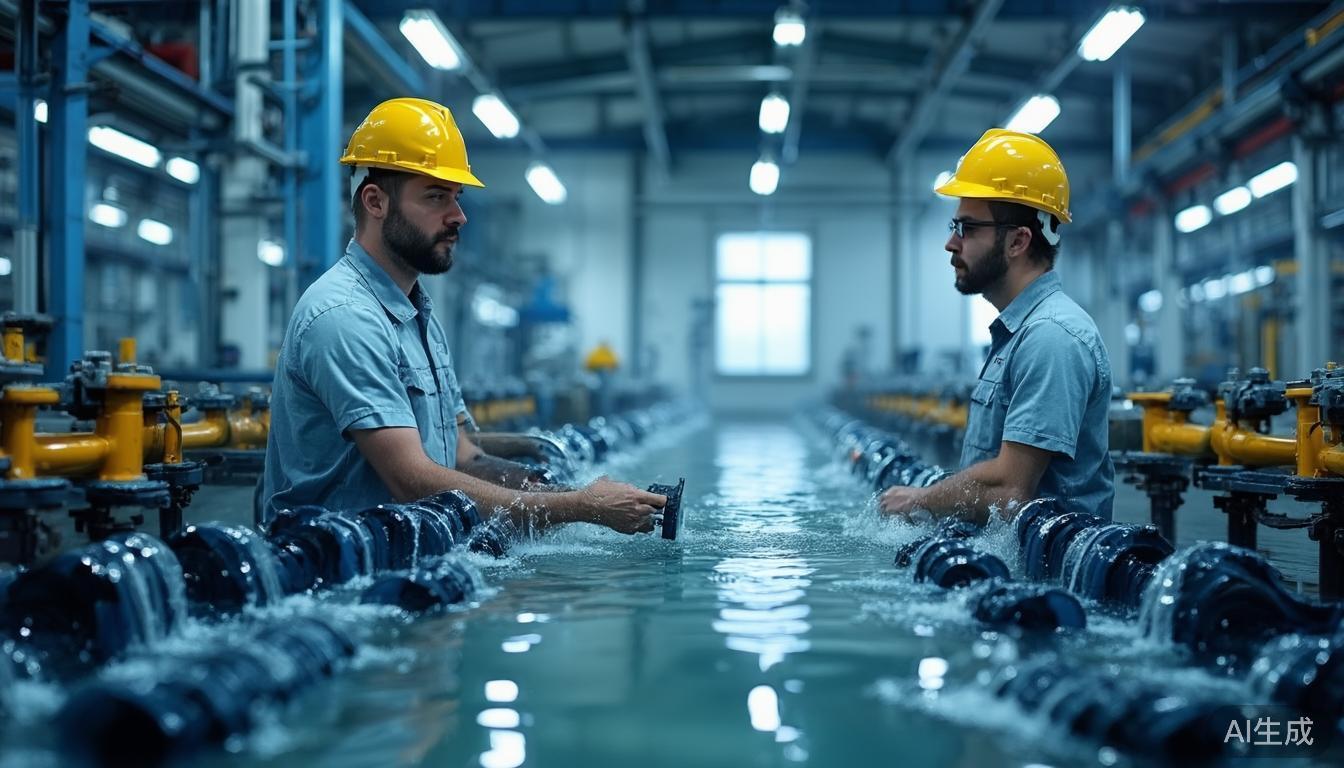
In recent years, the compounding of risks such as extreme rainfall, basin-wide floods, urban waterlogging, drought, and water-pollution emergencies has gradually shifted the water sector from traditional engineering-based dispatching to data-driven refined governance. The core change in smart water management is not merely installing sensors on river reaches, reservoirs, irrigation districts, and urban drainage facilities; it is using data acquisition, remote transmission, edge computing, model analysis, and operational closed loops to connect dispersed water assets into a cohesive system.
"Smart water management is moving from 'whether data exists' to 'whether data is reliable, timely, and able to be converted into decisions.'"
Edge acquisition and transmission terminals, such as the Hero V9, serve as an important sample for observing the industry's technology roadmap. They connect diverse sensing nodes—including rain gauges, water level gauges, flow meters, and video sensors—and upload on-site data via 4G, 5G RedCap, NB-IoT, LoRa, or satellite short messaging to support forecasting, early warning, simulation, and contingency planning.
Industry Trends: Three Clear Directions
Over the next three to five years, smart water management will show three distinct trends driven by policy, market, and technology:
- Sensing Network Extension: Coverage will expand from key projects to small and medium-sized rivers, flash-flood gullies, terminal canal systems, and rural water-supply networks.
- Data Governance Shift: Focus will move from single-point monitoring to basin-level data-asset operations.
- Architecture Evolution: Systems will evolve collaboratively from centralized platforms toward “edge intelligence + cloud models + low-altitude remote sensing + satellite communications.”
Policy Pull: Standards, Security, and Operational Collaboration
The “Four-Pre” Capability
Forecast, warning, simulation, and contingency planning are becoming critical evaluation dimensions. Systems must create linkages among rainfall, inflow, infrastructure status, and personnel evacuation.
Unified Standards Demand
To prevent new data silos, bidding and acceptance now require unified specifications for data interfaces, acquisition frequency, transmission security, breakpoint resume, and equipment ledgers.
Policy implementation emphasizes data-access standards, system interoperability, cybersecurity, and long-term operation and maintenance. For county-level departments, key indicators have shifted from the number of dashboard pages to data latency, alert accuracy, warning lead time, and O&M closed-loop rates.
From a regulatory perspective, the focus is shifting from “project construction” to “operational performance.” Effectiveness depends on risk point coverage, stability during flood seasons, and support for routine patrol and monitoring tasks.
Market Trends: From Single-Point Monitoring to Basin-Level Data Assets
The market structure is changing. Projects no longer just deploy sensors at isolated cross-sections; they cover comprehensive basin-level sensing networks including rainfall, soil moisture, infrastructure safety, and drone patrols. Procurement logic has adjusted accordingly: customers evaluate deployment cost, communication cost, O&M cost, and platform compatibility rather than just unit price.
Key Selection Factors for Remote Areas: Low power consumption, solar power, wireless remote transmission, and edge caching are crucial for mountainous areas and small reservoirs where manual meter reading is costly.
A significant trend is data assetization. Water-sector data is being used for water-rights trading, agricultural conservation, insurance, and ecological compensation. Terminals like the Hero V9, which output consistent, high-quality data with unified protocols, become foundational units for the basin digital foundation, extending market value from hardware sales to data services.
Technology Evolution: The Sensing-Transmission-Computation Loop
Smart water management is upgrading from simple “sensor networking” to a closed loop of sensing, transmission, computation, and feedback. This involves adapting to diverse instruments (radar, pressure, ultrasonic, electromagnetic) with differing interfaces and calibration cycles.
Solutions include 4G Cat.1, 5G RedCap, NB-IoT, LoRa, and satellite links. Choices depend on bandwidth, coverage, power consumption, and network availability. Urban projects rely on cellular networks, while remote basins need LPWAN or satellite supplements.
Edge terminals perform local data cleaning, anomaly removal, and threshold judgment. For example, if water levels exceed warnings, the terminal generates a high-priority message immediately without waiting for cloud polling, reducing latency in critical scenarios.
Digital twins and AI models demand continuous, accurate, low-latency data. Future competition lies in data governance, model trustworthiness, and O&M standardization, not just device parameters.
Case Study: Hero V9 in Water Scenarios
The Hero V9 represents the evolution of the smart water sensing layer, designed for outdoor, unattended, and power-limited environments. Its significance lies in reflecting the shift from “being able to upload” to “uploading reliably with local judgment capabilities.”
Environmental Adaptability
Wide-temperature operation, lightning/surge protection, sealed enclosures, and solar/battery backup ensure stability in harsh conditions.
Multi-Link Backup
Supports 4G, NB-IoT, LoRa, and satellite messaging. Compatible with MQTT, CoAP, and HTTP to reduce platform access costs.
Breakpoint Resume
Local storage allows data resumption after network recovery, ensuring continuity of hydrological time series for credible dispatch decisions.
Acquisition cycles are configurable: minute-level reporting for flood-season rainfall, 5–15 minutes for water levels, and hourly/daily for water quality. This flexibility balances data granularity with power and communication costs.
Typical Applications: Flash-Flood, Irrigation, and River Governance
Flash-Flood Early Warning
In mountainous counties, over 100 stations deployed along gully mouths and villages use hybrid 4G/LoRa networking. During heavy rain, reporting frequency increases to minute-level. The system links rainfall thresholds with village populations and evacuation routes, pushing warnings within seconds to tens of seconds.
Irrigation-District Metering
Modernized irrigation districts deploy flow meters and gate sensors at canal heads and branches. Terminals aggregate data for real-time dispatching, identifying leakage and water theft through balance analysis. This supports water-rights allocation and fee collection.
River-and-Lake Governance
Urban projects fuse multi-source sensing: video AI identifies illegal discharge and debris; water-quality sensors track dissolved oxygen and ammonia nitrogen; unmanned vessels handle hard-to-reach areas. Terminals bring these on-site facts back to digital platforms for unified management.
Data Governance: Quality Calibration as Core Proposition
As projects mature, the focus shifts from “existence” to “accuracy.” Issues like sensor drift, clock desynchronization, and packet loss affect final decisions. Effective governance requires a full-lifecycle mechanism: pre-onboarding ledgers, operational outlier detection, and post-decommissioning data retention.
- Tiered Sampling: High-frequency data isn't always better. Balance response speed with power/storage costs by setting tiered configurations based on business scenarios.
- Priority Transmission: During network congestion, alerts and critical hydrological sequences should take precedence over ordinary data.
- Responsibility Closed Loop: Clarify roles for device O&M, calibration, and warning issuance to move from display-oriented to operation-oriented systems.
Challenges and Outlook
Standard Mutual Recognition
Inconsistent naming, ranges, and protocols across regions raise integration costs. Unified device interfaces and data dictionaries are essential for model reuse.
Model Generalization
Digital twin models often fail when transferred to different terrains or channel morphologies due to insufficient historical data and complex human impacts.
Security Resilience
Critical infrastructure requires identity authentication, firmware signing, and secure remote updates to prevent tampering and attacks.
O&M Cost Efficiency
Remote diagnostics, automatic calibration reminders, and battery monitoring are key to managing scattered outdoor stations over a ten-year lifecycle.
Three Main Lines for the Next Three Years
- Downward Extension of Sensing Networks: Expanding to small rivers, rural supplies, and flood-prone points with low-cost, easy-install terminals.
- Data-as-a-Service: Integrated delivery of hardware, transmission, edge computing, and cloud models. Customers prioritize decision-support capability over hardware specs.
- Operational Closed-Loop Formation: Value manifests in incident response efficiency. Metrics like warning lead time, false-alarm rate, and disposal duration will drive optimization.
Overall, smart water management is transitioning from “digital display” to “digital operation.” The future belongs to those who can convert scattered data—rainfall, water levels, flow, and video—into actionable decisions, moving flood control, resource allocation, and supply security into a more refined and reliable stage.