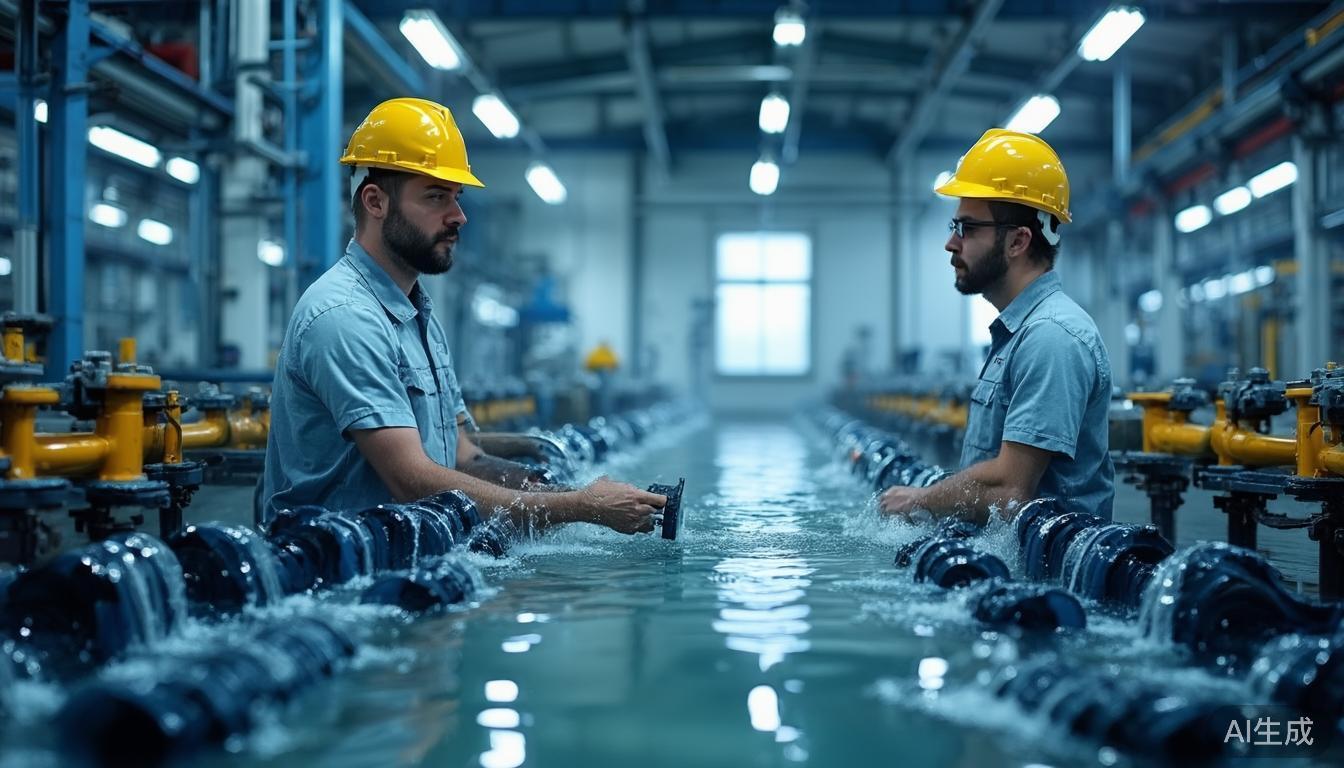
Smart Water Management Enters the Intelligent Sensing Phase: How Non-Contact Measurement, Flow Velocity and Water Level, and Integrated Cameras Reshape Watershed Governance
As digital twin water management, urban flood control and drainage, conservation and intensive use of water resources, and comprehensive watershed governance continue to advance, smart water management is shifting from a construction-centered model to one centered on data sensing, real-time computing, and intelligent decision-making. In the past, hydrological monitoring relied more on manual observation, contact sensors, and single-point devices. Today, non-contact measurement, integrated flow velocity and water level sensing, integrated cameras, edge computing, and digital twin models are together forming the next-generation water management sensing foundation. This change has altered not only equipment selection logic, but also project acceptance criteria: from "whether data exists" to "whether data is continuous, accurate, traceable, capable of early warning, and capable of simulation." This article analyzes the structural changes taking place in the smart water management industry from six dimensions: policy, market, technology, scenarios, data, and future directions.
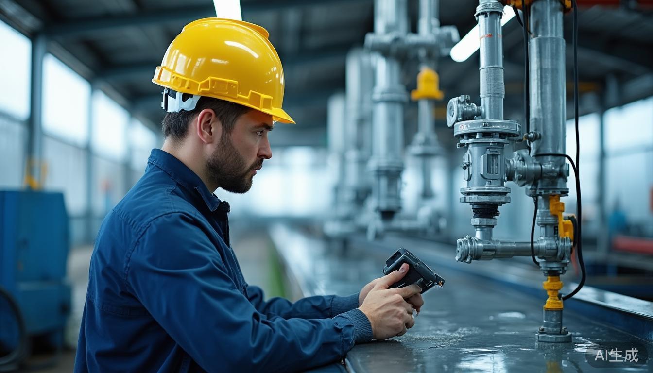
I. Policy-Driven: From "Engineering Water Management" to the Monitoring Foundation of "Digital Twin Water Management"
The development of smart water management is not driven solely by technology; policy and governance needs are also core variables. In recent years, around the national water network, watershed flood control, urban waterlogging governance, water resource management, the river and lake chief system, mountain torrent disaster prevention, and digital twin watershed construction, relevant competent authorities have continuously emphasized the construction of a "space–air–ground–water–engineering" integrated monitoring and sensing system. The so-called "space–air–ground–water–engineering" system is not simply a stacking of devices, but requires the formation of a multi-level sensing network covering watersheds, rivers, reservoirs, embankments, gates, pump stations, irrigation districts, and urban drainage nodes. Its objective is to identify risks before floods arrive, grasp status during dispatch, and reconstruct processes during post-event review.
Against this backdrop, the importance of monitoring devices has been amplified again. Traditional water management projects often emphasized engineering entities such as embankments, reservoirs, gates, and pump stations, while the sensing layer was merely an accessory. But in the digital twin water management framework, the sensing layer becomes the entry point for "digital water." Without continuous, trusted data on water level, flow velocity, discharge, rainfall, video, infrastructure operating status, and dispatch, digital twins can only remain at the visualization interface and find it difficult to form true simulation, forecasting, and early warning capabilities. Policy requirements for data quality, real-time performance, completeness, and sharing are pushing projects from "construction delivery" to "long-term operation." This also means that whether devices are easy to maintain, have self-check capability, and can provide auditable data quality reports will affect project evaluation.
Flood and drought control is extending from "post-disaster response" to "risk prediction." Scenarios such as urban waterlogging, floods on small and medium rivers, mountain torrent gully disasters, reservoir spillway risks, and water-use conflicts in irrigation districts all require sensing systems to detect anomalies at the minute or even second level.
Another important change is that flood and drought control is extending from "post-disaster response" to "risk prediction." Events such as water accumulation in urban underpasses, rapid rise of river water levels, abnormal gate opening, and floating debris blockage often suffer delays if relying on manual patrols. The combination of non-contact measurement and integrated cameras turns field data from mere numeric tables into comprehensive sensing units with image evidence, status judgment, and event recognition capabilities. The policy orientation thus expands from single hydrological monitoring to comprehensive sensing of water security, water ecology, water environment, and water dispatch.
From a project type perspective, policy-driven market demand is differentiating. New large water infrastructure projects, key river governance projects, and digital twin watershed projects emphasize system-level integration, requiring coordination of sensing, communication, computing, models, and platforms; retrofitting of existing small and medium rivers, irrigation districts, reservoirs, and urban drainage facilities focuses more on low-cost deployment, low maintenance, easy integration, and standardized output. The reason non-contact measurement has received attention is precisely that it can reduce reliance on civil works, water supply interruption, dredging, and manual maintenance in existing retrofitting projects, making it more suitable for rapid deployment under complex field conditions.
II. Market Trends: Non-Contact Measurement Becomes the Common Choice for Retrofitting and New Projects
From market evolution, smart water management sensing devices are undergoing a superposition of three stages. The first stage is "attended monitoring," relying on manual staff gauges, rain gauges, flow measurement cross-sections, and patrol records, with low data frequency, strong subjectivity, and insufficient timeliness. The second stage is "automatic monitoring," mainly using pressure-type water level gauges, tipping-bucket rain gauges, electromagnetic flowmeters, and ultrasonic water level gauges to achieve scheduled acquisition and remote transmission. The third stage is "non-contact intelligent sensing," using radar, laser, video, sonar, millimeter wave, and multispectral imaging to acquire water level, flow velocity, flow regime, floating debris, gate status, and abnormal events without contacting the water body or altering the site structure.
Maintenance Cost
Contact sensors are susceptible to sediment, algae, and corrosion. Non-contact radar water level gauges (accuracy ±1 mm to ±3 mm) do not enter the water body, significantly extending maintenance intervals.
Scenario Adaptability
Ideal for urban rivers, mountain torrents, and bridge openings. Devices can be installed on poles or guardrails, reducing impact on river cross-sections while providing visual context via integrated cameras.
Data Value Enhancement
Shift from "buying a sensor" to "buying an operable sensing node." Data now includes images, event labels, and self-check status, feeding directly into digital twin and early warning systems.
From the competitive landscape, for the foreseeable future, the smart water management sensing device market will not simply move toward low-price competition, but toward competition based on standardization, reliability, maintainability, and openness of data interfaces. Products that can adapt to complex field environments, provide multi-source data fusion, support edge computing, and have remote upgrade and fault self-check capabilities are more likely to enter key watershed, urban flood control, and large irrigation district projects. Conversely, devices that only meet minimum specification indicators and lack field adaptation and O&M tools will expose problems such as data gaps, false alarms, drift, and maintenance difficulties during long-term operation.
III. Technology Evolution: Flow Velocity, Water Level, and Integrated Cameras Move from Single-Point Sensing to Multi-Source Fusion
At the technology level, smart water management sensing is shifting from "single device, single indicator, single frequency" to "multi-sensor, multi-modal, multi-time-scale." Water level reflects the inundation degree at a cross-section or specific location, flow velocity reflects the movement state of the water body, and images reflect visual evidence and event scenes at the field. Only after the three are fused can the system upgrade from "measurements" to "status judgments."
Non-contact flow velocity measurement has been an important recent advance. Video flow measurement technology analyzes water surface texture, floating objects, ripples, and particle motion through continuous image frames. Under good illumination and reasonable calibration conditions, video flow measurement errors can be kept within ±0.05 m/s to ±0.15 m/s. Radar velocity measurement is another path. Millimeter-wave radar measures water surface movement speed through the Doppler principle, is less affected by illumination, and is suitable for nighttime, rain and fog, and continuous monitoring. In engineering applications, radar flow velocity meters often have an accuracy range of about ±0.1 m/s. Compared with video flow measurement, radar is more suitable for low light and continuous numerical output; video is more suitable for event recognition and image evidence preservation. Combining the two can form a composite sensing capability of "numerical values + images + events."
The role of integrated cameras is also changing. Early water management video was mainly used for remote viewing. New smart water management nodes require cameras not only to "see," but also to "understand." For example, 1080P or 4K starlight-grade cameras can preserve details under low-illumination conditions; infrared illumination or thermal imaging can assist recognition at night; wide dynamic range can handle highly reflective water surfaces; and edge AI can locally perform floating debris detection, abnormal water surface fluctuations, personnel intrusion, gate status recognition, staff gauge reading assistance, and flooding depth level assessment. Typical edge inference latency can be kept within 200 ms, thereby gaining time for early warning and dispatch.
The key to multi-source fusion is not only hardware integration, but data alignment and trustworthiness assessment. If camera pose changes, radar installation angle deviates, or nighttime image quality degrades, the system must be able to identify changes in data quality, rather than blindly output results. Therefore, future device competition will focus not on "whether measurement functions exist," but on "whether the system can judge whether measurements are reliable." Self-diagnosis, self-calibration, breakpoint resume, anomaly marking, and model drift detection will become important capabilities for smart water management sensing nodes.
IV. Scenario Implementation: Differentiated Needs for Urban Waterlogging, Small and Medium Rivers, Irrigation Districts, and Reservoir Spillways
Smart water management cannot remain only at generic device specifications; scenarios truly determine the technology path. The needs for non-contact measurement, flow velocity, water level, and integrated cameras differ significantly across scenarios. Urban waterlogging governance focuses on "rapid detection, rapid response, and evidence preservation"; small and medium river floods focus on "continuous cross-section monitoring and warning lead time"; irrigation districts focus on "accurate metering, fair water use, and low-cost maintenance"; reservoir spillways and sluice dams focus on "status safety, anomaly recognition, and dispatch visibility."
Urban Waterlogging & Underpasses
Focuses on rapid detection. When integrated cameras are combined with millimeter-wave radar and water level sensors, they form a "water level threshold + image confirmation + event alarm" combination. Early warnings trigger at 10-15 cm water levels, with interlocked traffic control or pump startup at 25-30 cm. Algorithms must be robust against rain reflections and oily polluted surfaces.
Small & Medium Rivers / Mountain Torrents
Emphasizes continuity and stability. Non-contact devices deployed under bridges avoid entering the river channel. Systems need minute/second-level acquisition during floods. Due to unstable networks, devices must support local caching, breakpoint resume, solar power, IP68 protection, and lightning resistance.
Irrigation Districts
Focuses on water resource metering and dispatch fairness. Non-contact video and radar flow measurement provide continuous data without interrupting water supply. Combined with cross-section calibration, they estimate discharge. Future digitalization aims to form a data foundation for water rights, fees, and saving evaluations.
Reservoir Spillways & Pump Stations
Emphasizes comprehensive recognition of infrastructure status. High-speed water movement and mist challenge traditional cameras. Wide dynamic range, polarization, and infrared illumination help recognize gate opening, flow patterns, and slope erosion. Systems interlock with motor status and dispatch commands for safety sensing.
V. Data and Algorithms: Edge Intelligence, Model Validation, and Trusted Data Become Key to Competition
The core bottleneck in smart water management is shifting from "whether it can measure" to "whether measurements are accurate, usable, and trustworthy." Field data are often affected by weather, illumination, sediment, vegetation, water surface reflection, device posture, cross-section changes, and communication conditions. Without data governance and algorithm validation mechanisms, non-contact measurement may introduce new uncertainties. For example, video flow measurement may underestimate flow velocity under weak nighttime light; radar water level measurements may jump under strong wind and waves; false alarms by edge AI can weaken dispatcher trust. Therefore, trusted data has become an important barrier to competition in the industry.
- Standardized Output: A mature sensing node should provide values, timestamps, device status, confidence, anomaly markers, and raw data/key frames. Indicators like water level and flow velocity should be accompanied by measurement method, valid range, sampling frequency, calibration status, and data quality grade.
- Continuous Algorithm Validation: Engineering requires establishing a "model–scenario–sample–feedback" closed loop. When the system produces false alarms, O&M personnel can trace back images, correct annotations, adjust thresholds, or recalibrate cameras. Platforms count model drift, device failure rate, data completeness rate, and warning hit rate.
- Edge Intelligence Efficiency: Edge nodes perform key frame extraction, event recognition, and data compression, uploading only high-value information. This reduces bandwidth pressure and storage costs while meeting real-time warning requirements.
- Security and Compliance: Water management data relates to urban operations and public travel. It requires classification, access control, transmission encryption, log auditing, offline resume, and tamper-proof records. Privacy protection and data retention periods are equally important.
VI. Outlook: Five Certain Directions for Smart Water Management in 2026–2030
Looking ahead to the next five to ten years, several directions in the smart water management industry deserve close attention. First, non-contact measurement will move from "replacing contact devices" to "defining new monitoring paradigms." As the costs of radar, laser, video AI, and sonar technologies decline, non-contact devices will no longer be merely maintenance-convenient supplements, but will become standard configurations for urban rivers, irrigation districts, mountain torrent gullies, and small and medium rivers. The industry needs clearer technology selection guidelines: which scenarios should use radar, which should use video, which should use multi-source fusion, and which must retain contact calibration.
Second, flow velocity and water level will no longer exist as isolated indicators, but will enter cross-sectional discharge, flood routing, and urban waterlogging models. By coordinating multi-point radar, video, sonar, and water level gauges and combining them with hydrodynamic models, systems can estimate discharge, judge backwater, predict overtopping, and identify abnormal flow regimes. This means sensing devices must be deeply coupled with model platforms, rather than simply connected to a data table.
Third, integrated cameras will upgrade from "video surveillance" to "water management visual intelligence." Cameras will not only perform viewing functions, but also recognition, counting, evidence collection, early warning, and dispatch assistance functions. Floating debris, gate opening, personnel proximity, flooding depth level, overflow patterns, slope abnormalities, nighttime reflections, and rain and fog interference may all become recognition targets. Whoever can convert images into actionable events will obtain greater value in smart water management projects.
Fourth, project evaluation will shift from "construction completion" to "long-term operational effectiveness." In the future, data completeness rate, warning hit rate, device online rate, maintenance response time, model drift control, breakpoint resume capability, and user satisfaction will become more critical assessment indicators. Smart water management will move from a "project acceptance mindset" to an "operations-as-a-service mindset," and equipment manufacturers also need to transform from hardware suppliers into sensing and data service providers.
Fifth, open standards and ecosystem collaboration will become the foundation for healthy industry development. Water management scenarios are complex, and a single vendor can hardly cover all sensor, communication, platform, model, and O&M needs. The future market needs more unified data interfaces, device status protocols, calibration specifications, event classification, and quality assessment methods. Open standards help reduce duplicate construction, lower system integration costs, and facilitate coordinated operation of different devices on watershed-level platforms. For non-contact measurement, flow velocity, water level, and integrated cameras, standardization is not a limitation on innovation, but enables innovation to be validated, replicated, and applied at scale.
Conclusion
Overall, smart water management is entering a new stage characterized by intelligent sensing, trusted data, and closed-loop decision-making. Non-contact measurement, flow velocity, water level, and integrated cameras are not isolated technology hotspots; together they form the foundational capabilities of the next-generation digital water management foundation. Policy drivers, market choices, technology maturation, and scenario deepening are moving water management monitoring from "seeing data" to "understanding the field, calculating risk, and driving dispatch." In the coming years, truly competitive smart water management solutions will not rely solely on device specifications, but will depend on whether they can operate stably over the long term in complex real-world environments, and whether they can provide verifiable, traceable, and predictable decision-making basis for watershed safety, urban resilience, and water resource management.