Practical Guide for Urban Waterlogging Warning Systems: Installation, Commissioning, O&M, and Troubleshooting
With the increase in heavy rainfall during flood seasons, urban waterlogging management is shifting from passive emergency response to proactive early warning. At waterlogging risk points such as under overpasses, tunnel entrances, and low-lying communities, building a flood control system centered on radar water level monitoring, automatic warning, and coordinated response has become an industry consensus.
This article outlines the key points of installation, commissioning, maintenance, and troubleshooting for reference by frontline personnel.
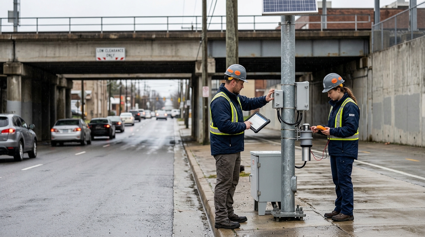
1. Installation Steps: Determine Locations First, Then Install Equipment
Locations should be determined based on historical waterlogging data and topography, prioritizing coverage of underpasses, culverts, flood-prone road sections, river discharge outlets, and pump station forebays. Radar sensors should be installed in areas prone to water accumulation and easy to maintain. The monitoring surface should avoid manhole covers, drainage outlets, reflective metals, and obstacles to reduce echo interference. The pole foundation should be elevated above ground level, the brackets must meet wind resistance requirements, and maintenance space should be reserved.
After securing the equipment, complete the power supply, communication, and lightning protection grounding. For solar power supply, configure batteries and photovoltaic panels based on the expected number of consecutive rainy days. Communication can utilize dual channels such as 4G, NB-IoT, or Ethernet. Adjust the distance between the radar probe and the water surface, as well as the installation angle, according to design values to ensure the beam covers the effective water surface. Run cables through waterproof conduits, seal the connectors, and label them with identification numbers.
2. Commissioning Methods: Ensure Data Accuracy and Warning Coordination
First, perform zero-point and span calibration. Set the baseline value in a no-water or known water level state, then compare it using a water gauge or measuring tape to confirm that the radar output matches the actual conditions. For waterlogging monitoring under bridges, key thresholds such as 0 cm, 10 cm, and 25 cm should be verified to avoid misjudgment caused by road surface undulations.
Recommended Warning Logic: "Water level threshold + duration + rate of change".
- Advisory: 10 cm accumulation lasting 3 minutes.
- Alarm: 25 cm accumulation lasting 1 minute.
- High-Level Warning: 40 cm accumulation OR rapid short-term rise.
Information should be pushed to the flood control platform, via SMS, to audible and visual alarms, or LED screens, and coordinated with pump stations, gates, and video surveillance. Joint commissioning can be verified through manual water injection, post-rain review, and historical data playback. During commissioning, record the alarm time, water level values, on-site photos, and disposal results to form a ledger, providing a basis for threshold optimization.
3. Routine Maintenance: Comprehensive Inspection Before Flood Season, Focused Patrol During Flood Season
- Monthly Checks: Inspect equipment appearance, bracket fastening, cable damage, and solar panel cleanliness.
- Pre-Flood Season: Conduct overall joint commissioning, including battery charge/discharge tests, communication signals, alarm devices, and platform display.
- During Heavy Rainfall: Conduct remote monitoring and on-site spot checks of key locations.
- Cleanliness: Keep the radar surface clean to prevent mud, leaves, bird droppings, or water vapor condensation from affecting the echo. Use a soft, dry cloth for cleaning to avoid scratching the radome.
Drainage ditches along low-lying road sections should also be checked for blockages. Maintenance records should be included in the ledger to ensure issues are traceable and disposal actions are closed-loop.
4. Common Troubleshooting: Diagnose Data First, Then Diagnose the Link
Data Jumping / Abnormally High Readings
Causes: Branches, vehicles, pedestrians within the beam, or angle deviation.
Solution: Check echo intensity, clear obstacles, adjust the angle, and set up outlier filtering.
Long-term Data Loss / Offline
Causes: Power failure or communication interruption.
Solution: Check battery voltage, charging current, SIM card status, and antenna connections.
False Alarms
Causes: Short-term raindrops, splashing water, passing vehicles, or thresholds set too low.
Solution: Increase duration threshold, add rate-of-change judgment, and implement zone masking.
Missed Alarms / Delays
Causes: Improper span settings, probes installed too high, or communication lag.
Solution: Re-verify installation height and alarm logic. Recommend dual-channel push for critical locations.
Conclusion
Urban waterlogging warning is not merely the installation of standalone equipment, but a closed-loop flood control process of "perception—warning—response—review". Only by establishing standardized processes can radar monitoring data be transformed into actionable information. In the face of increasing extreme rainfall, urban managers should prioritize system availability, ensuring that waterlogging warnings are visible, reportable, and actionable at critical moments.

