Waterlogging vs. Early Warning: Equipment Selection Guide for Urban Pipe Networks
From single-point monitoring to multi-source fusion: A comprehensive technical comparison for urban flood control systems.
? The New Paradigm: Multi-Source Sensing
In recent years, extreme heavy rainfall has transformed urban waterlogging from a mere drainage issue into a comprehensive challenge involving public safety and urban governance. The industry standard for risk assessment relies on ponding depth:
- 15 cm: Pedestrian passage affected.
- 25 cm: Significant wading risk for small vehicles.
- >40 cm: Severe hazards at underpasses, tunnels, and subway entrances.
Flood control departments are shifting focus from asking "Will it rain?" to "Where will ponding occur, how deep will it be, and when should traffic control be implemented?" This requires a transition from single rainfall observation to a unified business process integrating weather radar, ponding monitoring, pipe network levels, video recognition, and emergency dispatch.
This guide systematically compares the advantages, disadvantages, applicable scenarios, and selection recommendations for key technical routes: waterlogging monitoring stations, weather radar, Video AI recognition, pipe network hydrological models, and multi-source fusion platforms.
Overview of Technical Routes
Urban waterlogging warning typically includes five links: rainfall monitoring, hydrological sensing, operational dispatch, risk modeling, and warning dissemination. Below is a comparative analysis of the core technologies:
Ponding Monitoring
Pros: Direct, accurate data with clear threshold settings.
Cons: Limited spatial coverage; high O&M costs for comprehensive deployment.
Weather Radar
Pros: Broad coverage, long lead time (0-2h nowcasting).
Cons: Reflects rainfall intensity, not direct ponding; subject to environmental interference.
Video AI Recognition
Pros: Strong visualization, facilitates manual verification and traffic guidance.
Cons: Affected by lighting, obstructions, lens cleanliness, and privacy issues.
Hydrodynamic Models
Pros: Predicts risks 30-90 minutes in advance based on simulation.
Cons: Highly dependent on terrain, pipe network, and rainfall data quality.
Waterlogging Monitoring Stations & Electronic Staff Gauges
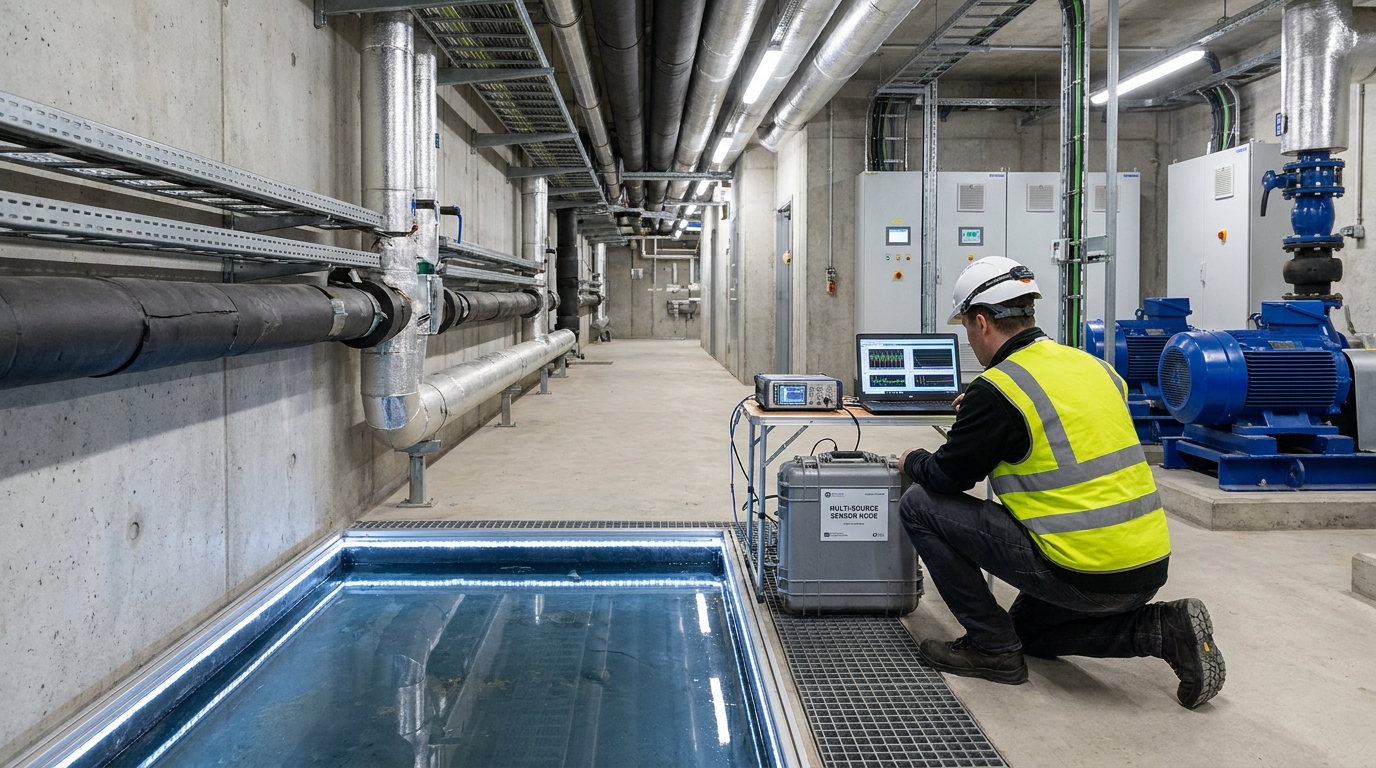
Waterlogging monitoring stations provide the most direct and quantifiable data. Common sensors include pressure level transmitters, ultrasonic transmitters, and radar level transmitters.
Key Performance Metrics
- Radar Transmitters: ±3mm to ±1cm accuracy; ideal for tunnels and underpasses.
- Response Time: Alarm delays typically controlled within 1 minute.
- Data Interval: Collection every 1-5 minutes via 4G/5G/NB-IoT.
"After deploying radar level transmitters at 126 underpass bridges, detection time was reduced from 20-30 minutes (manual patrol) to 3-5 minutes."
While point-based monitoring is irreplaceable for high-risk areas like tunnels and underground garages, it suffers from insufficient spatial coverage. Sensors can be affected by garbage, oil stains, and vehicle rolling, requiring regular calibration before the flood season.
Weather Radar: Core Capabilities for Nowcasting
Weather radar is essential for obtaining 'areal rainfall' and 'lead time.' Unlike automatic rain gauges which have limited density, radar can invert rainfall intensity and movement trends across the entire city.
The core advantage lies in 0-to-2-hour nowcasting. By combining radar echo extrapolation with deep learning, flood control departments can predict heavy rainfall locations and intensities in advance. However, radar estimation can deviate by 20-50% from ground gauges during extreme events due to clutter or beam attenuation. Therefore, radar is best used for trend judgment and regional dispatch, complementing rather than replacing physical monitoring.
Video AI: Visual Verification & Situational Awareness
Video AI recognition is one of the fastest-growing routes, utilizing existing traffic cameras or new installations to automatically recognize ponding extent and relative depth. Using edge computing or cloud inference, a single recognition cycle takes only 10-30 seconds.
- Accuracy: With reference objects (curbs, tires), depth estimation error can be controlled within ±3-5 cm.
- Integration: Can link with traffic signals and variable message signs for real-time risk prompting.
- Limitations: Nighttime rain, dirty lenses, and dense traffic reduce accuracy. It serves best as a verification tool alongside level gauges.
In a prefecture-level city case study, deploying video recognition at 80 intersections reduced the false alarm rate from 18% to below 8% through algorithm iteration and manual verification.
Pipe Network Models: From Seeing Ponding to Simulation
To judge risks in advance, cities must introduce pipe network monitoring and hydrological/hydrodynamic models (e.g., SWMM, InfoWorks ICM). These tools transform rainfall processes into surface runoff generation, pipe network load, and manhole overflow simulations.
Model Value Proposition
With complete terrain and pipe census data, models can predict ponding location and depth 30-90 minutes in advance. This enables pre-discharge, pump station dispatch, and pre-positioning of rescue teams before the rain even peaks.
The main challenge is data quality. Old urban areas often suffer from missing pipe data and mixed rain/sewage connections. Without continuous calibration, models may result in "safe on paper but ponding on site." Successful implementation requires significant investment in data governance and surveying.
Multi-Source Fusion Warning Platform
What truly supports urban flood control is not a single device, but a platform that integrates rain gauges, radar, monitoring stations, pipe networks, video, and pump status into a unified GIS view.
Standard Threshold System
| Parameter | Yellow Alert | Orange Warning | Red Emergency |
|---|---|---|---|
| Rainfall (1h) | 30 mm | 50 mm | 70 mm |
| Ponding Depth | 15 cm | 25 cm | 40 cm |
| Pipe Network | Level rising rapidly | Fullness >80% | Manhole overflow |
The value of fusion lies in reducing false alarms. For instance, if radar shows heavy rain but ponding gauges don't rise, the system prompts attention rather than immediate road closure. In one city, integrating radar with 120 monitoring points reduced average response time from 15 minutes to 5 minutes.
Selection Recommendations & Outlook
Cities should follow the principle of "risk priority, tiered construction, and combination of point and surface."
- High-Risk Points (Tunnels, Subways): Prioritize high-precision level/radar gauges + video verification + local alarms.
- General Roads: Use rain gauges, Video AI, and model calculations to avoid blind high-density deployment.
- Budget-Constrained Cities: Ensure real-time monitoring for high-risk points first; O&M capabilities must be included in annual budgets.
Looking ahead, urban waterlogging warning will move from "seeing ponding" to "predicting ponding" through phased array radar, millimeter-wave sensing, and City Information Modeling. However, technology is only the foundation; effectiveness ultimately depends on data quality, threshold management, and inter-departmental coordination.

