Background
River stage is the primary variable in flood forecasting and urban lifeline protection. Open-channel telemetry sites are among the harshest deployment environments in water monitoring: stage can rise 0.5–1.0 m per hour during flood events, the surface is disturbed by waves, driftwood and debris, and most sites are off-grid, powered by solar panels with cellular or LPWAN backhaul. Contact technologies — float gauges with stilling wells or submerged pressure transmitters — require costly civil works and are vulnerable to flood damage. Non-contact radar level sensors have therefore become the de facto standard for river stage monitoring.
Technology Analysis
- Frequency band: 26 GHz pulsed radar typically has a beam angle of 8°–10° and is easily disturbed by banks, bridge piers and overhanging vegetation on narrow reaches. 80 GHz FMCW radar narrows the beam to roughly 3°, dramatically reducing false echoes in obstructed installations. Lower-frequency radar penetrates fog and spray better but offers coarser resolution.
- Range and accuracy: size the measuring range as the historical maximum stage excursion plus a 20% margin. Accuracy targets depend on station class: ≤ ±3 mm for reference (Class A) stations and ≤ ±10 mm for routine stations, consistent with hydrometric practice under SL 219 and relevant ISO open-channel standards.
- Wave and debris rejection: flood-season waves reach 0.3–0.5 m, so multi-echo tracking and median filtering must be enabled. Drifting debris generates transient false targets; the sensor should expose an echo-quality (signal-confidence) metric so the RTU or platform can flag and filter outliers automatically.
Engineering Recommendations
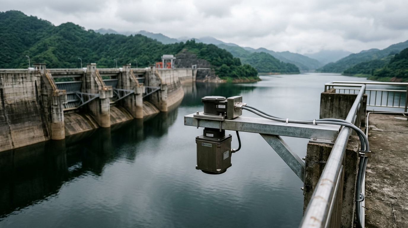
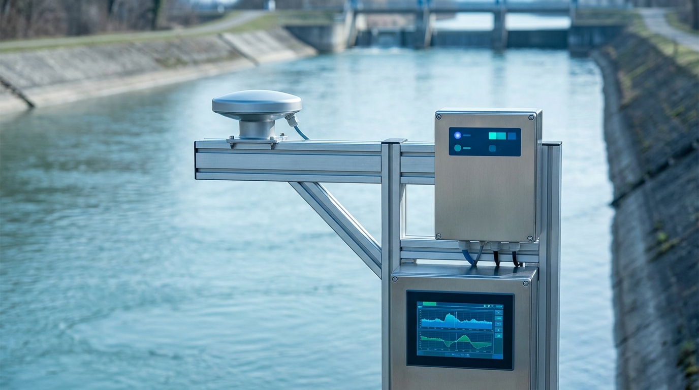
- Mounting geometry: install the sensor on a cantilever boom extending 1.5–2 m over the water, with the antenna face perpendicular to the calm surface, clear of the main flow and pier turbulence. Mounting elevation should exceed the recorded maximum flood level by at least 0.5 m.
- Commissioning: before flood season, perform an empty-tank calibration and false-echo mapping, defining suppression zones for fixed reflectors such as handrails and bridge piers. Cross-check against a manual gauge board at acceptance; a deviation within 2 cm is acceptable.
- Power and telemetry: use a solar-battery IoT RTU with 4G or NB-IoT uplink. Typical reporting intervals are 5 minutes during flood season and 30 minutes otherwise, plus event-driven immediate reports when the rate of rise exceeds a threshold (e.g., 5 cm in 5 minutes).
- O&M: inspect the antenna quarterly for condensation and bird droppings; verify bracket integrity, corrosion protection and anti-theft fixings before each flood season; cross-validate against a secondary pressure sensor during high-flow periods.
Conclusion
River stage monitoring succeeds or fails on installation and commissioning rather than hardware alone. With an 80 GHz narrow-beam radar, disciplined mounting geometry, false-echo management and echo-quality-based data QC, a site can sustain above 99% data availability through flood season — a dependable foundation for flood early warning and urban lifeline operations.