Radar Level Meter Selection Guide: Installation & Commissioning for River Environments
A technical deep-dive into hydrological telemetry standards, sensor comparison, and engineering best practices.
Background: Technical Challenges in River Water Level Monitoring
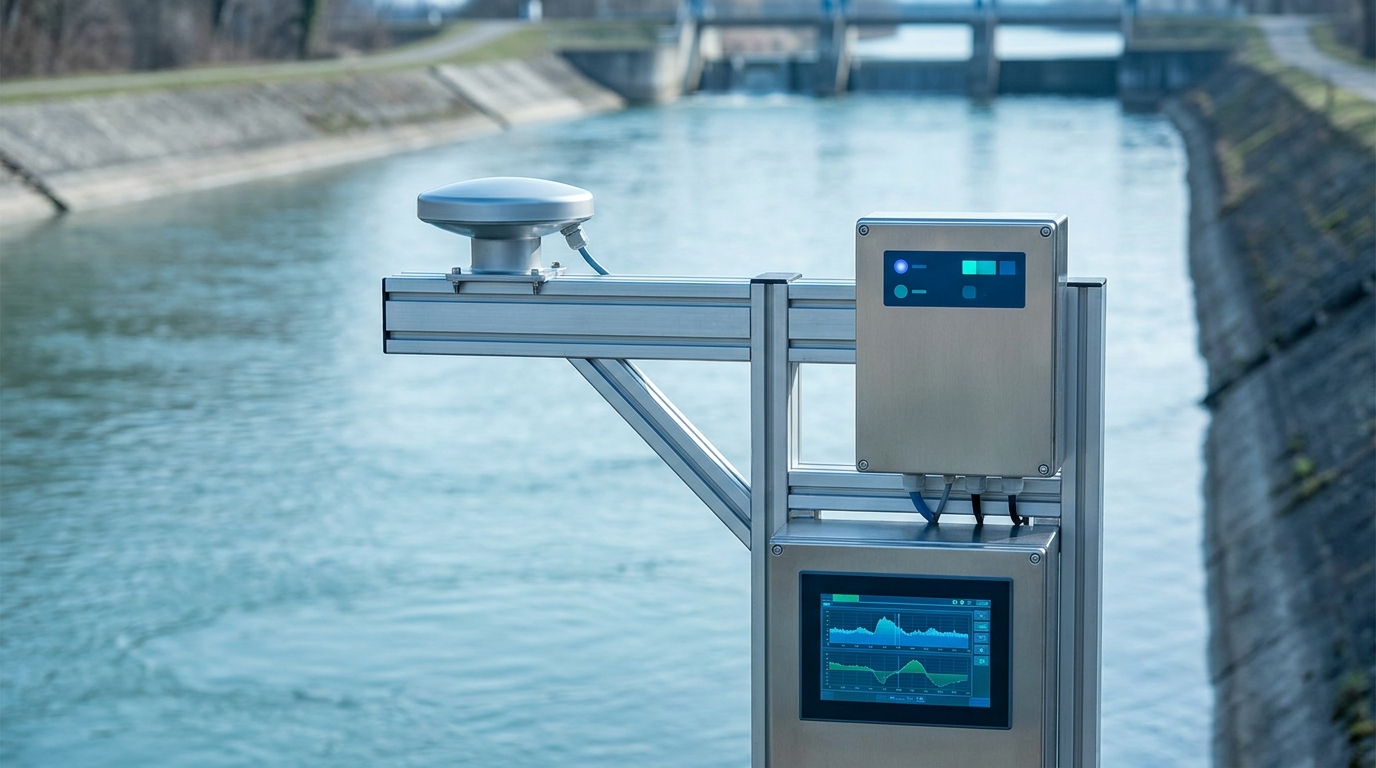
River water level monitoring is foundational to hydrological forecasting, flood early warning, and water resource allocation. However, the riverine environment poses a distinct set of engineering challenges:
- High surface turbulence from variable flow velocities
- Elevated sediment loads and floating debris interference
- Wide temperature swings (−20 °C to +60 °C)
- Lightning strike risk
Traditional float-type gauges require stilling wells—civil works that drive up cost and complicate maintenance. Submersible pressure transducers suffer from silt clogging and zero drift, demanding frequent recalibration.
In recent years, non-contact radar level sensors have become the dominant choice for river gauging, owing to their ease of installation, near-zero maintenance, and high accuracy. The OIML R85 international recommendation and IEC 60068 environmental testing standards provide a benchmark: hydrological telemetry stations should deliver level measurements within ±1 cm accuracy, a bar that 80 GHz FMCW radar technology clears with margin to spare.
Technical Analysis: Comparing Radar Level Sensing Technologies
Three non-contact technologies compete in the river gauging market today:
Pulse Radar (26 GHz)
- Beam Angle: 8°–12°
- Range: 0–30 m
- Accuracy: ±3 mm
- Price: USD $400–$1,100
Susceptible to side-wall reflections in narrow channels.
FMCW Radar (80 GHz)
RECOMMENDED- Beam Angle: 3°–5°
- Range: 0–15 m (river)
- Accuracy: ±1 mm
- Price: USD $700–$2,100
Narrow beam suppresses multi-path reflections; meets OIML R85 Class-1.
Guided Wave Radar
- Type: Probe/Cable
- Accuracy: ±1 mm
- Maintenance: High
Physical probes incompatible with debris-heavy rivers.
For most river gauging scenarios, 80 GHz FMCW radar offers the best engineering trade-off. Taking the Ecolor RLS-80 series as an example: its 3.5° narrow beam covers only ~61 cm of water surface when mounted at 10 m height, dramatically reducing false triggers. An on-board wave-filtering algorithm runs at 10 Hz sampling rate, applying sliding median + Kalman dual denoising to deliver stable output within ±1 mm. IP68 enclosure rating is verified against IEC 60068-2-11 salt-mist testing.
Installation & Commissioning: Five Critical Engineering Points
1 Site Selection
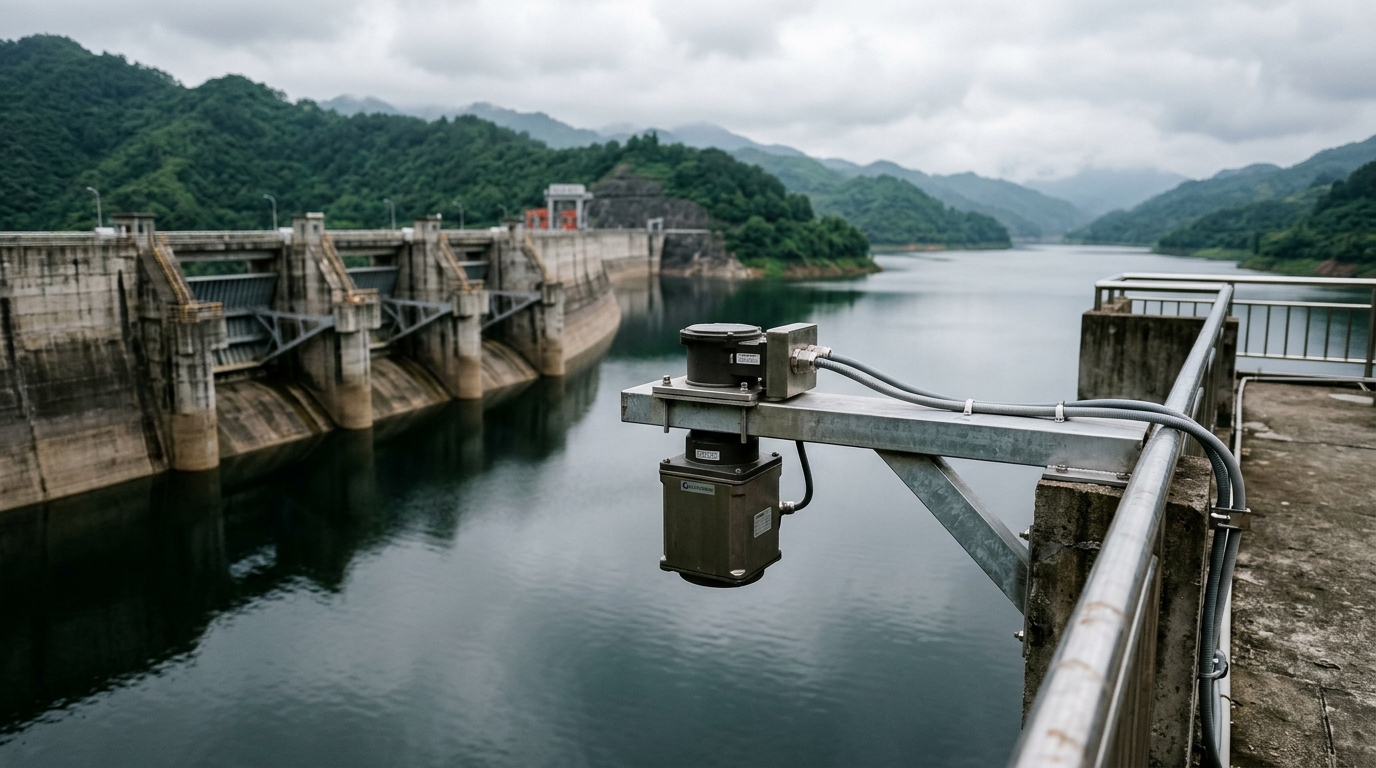
Prefer straight, uniform reaches of the river, avoiding bends, confluences, and downstream eddy zones behind bridge piers. Mounting brackets should cantilever at least 1.5 m beyond the riverbank to ensure the radar beam strikes the water surface vertically, free from vegetation obstruction. Use hot-dip galvanized steel or 304 stainless steel brackets with lightning-protection grounding (≤4 Ω).
2 Mounting Height & Beam Footprint
Recommended mounting height is 3–8 m. Too low risks flood submergence; too high enlarges the beam footprint and introduces noise. At a 5 m mounting height, an 80 GHz FMCW radar illuminates a spot approximately 30 cm in diameter—narrow enough to slip through gaps between floating debris.
3 Datum Calibration
After mounting, perform a geodetic leveling survey to tie radar readings to the station's reference datum (e.g., Yellow Sea datum or local freeze datum). Use RTK-GPS or optical level to measure the absolute elevation of the mounting flange, then configure the zero-offset parameter at the RTU. Re-survey at least once annually before the flood season.
4 RTU Telemetry Integration
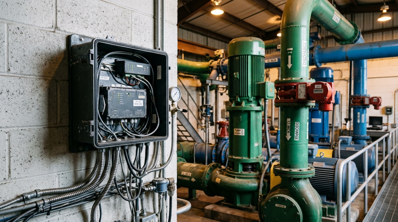
Radar sensors typically connect via RS-485 (Modbus RTU protocol) or 4–20 mA analog loop. SDI-12-compliant smart sensors are preferred for plug-and-play deployment with automatic parameter discovery. The HERO V9 RTU embeds a full hydrological protocol stack (compliant with SL 651-2014 and equivalent international standards), encrypting and forwarding radar level data to provincial hydrological data centers over 4G/BeiDou dual-channel redundancy—ensuring data integrity during extreme weather.
5 Power Supply & Lightning Protection
River gauging stations typically use solar + battery. A 50 W solar panel paired with a 38 Ah LiFePO₄ battery supports a radar level sensor + RTU through 15 consecutive overcast days (assuming 15-minute acquisition intervals). Equip the station with a DC surge protective device (20 kA max discharge current) and signal-line SPD, housed in a metal lightning-protection enclosure.
Data Quality Assurance: Diagnosing and Handling Anomalies
Post-deployment, conduct at least 72 hours of continuous observation and cross-validation against manual staff-gauge readings. Common anomalies and mitigation strategies include:
Spike Jumps
Cause: Large floating objects (boats, logs).
Mitigation: 80 GHz FMCW applies echo-strength thresholding (valid targets above −25 dB) and suppresses transient reflections under 3 seconds.
Zero Drift
Cause: Thermal expansion/contraction or foundation settlement.
Mitigation: Specify low-CTE mounting materials and recalibrate zero annually before flood season.
Signal Loss
Cause: Very low water levels (<50 cm) or extreme sediment.
Mitigation: Deploy a redundant submersible pressure transducer as a backup channel to maintain data continuity.