Engineering Approach to Low-Cost, High-Density Urban Drainage Network Monitoring with Edge Computing
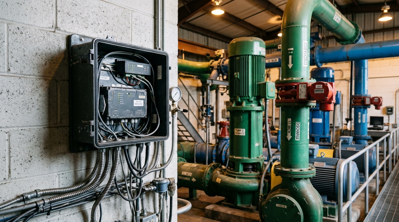
Urban drainage networks are the "underground lifeline" of cities, yet monitoring coverage in most municipalities remains below 15%. This article details a comprehensive engineering approach to overcoming capital intensity, harsh maintenance conditions, and protocol fragmentation through low-cost, high-density sensing and advanced edge computing strategies.
The Three-Fold Challenge in Urban Drainage Networks
Urban drainage networks are the "underground lifeline" of cities, yet monitoring coverage in most municipalities remains below 15%. The core challenges facing modern infrastructure management are threefold: capital intensity, harsh maintenance conditions, and protocol fragmentation.
Traditional online monitoring costs between ¥30,000–80,000 per point, creating a significant barrier to entry. Furthermore, H₂S concentrations often exceed 50 ppm, combined with intermittent submergence during CSO events, resulting in annual sensor failure rates of 20–30%.
Protocol fragmentation further complicates matters, as Modbus RTU, SZY206, SL651, and MQTT coexist across different vintages and vendors, making data fusion difficult for system integrators.
Capital Intensity
Traditional costs: ¥30,000–80,000 per point.
Harsh Conditions
H₂S > 50 ppm; Annual failure rate: 20–30%.
Protocol Fragmentation
Modbus, SZY206, SL651, MQTT incompatibility.
Coverage Gap
Current municipal monitoring: < 15%.
Tiered Sensor Deployment Strategy for Cost Efficiency
Rather than equipping every monitoring point with all parameters, we propose a three-tier deployment model aligned with OIML R49 and IEC 60068 environmental testing standards. Field data shows that this tiered approach increases monitoring density by 3–4× within the same capital budget compared to full-parameter deployment.
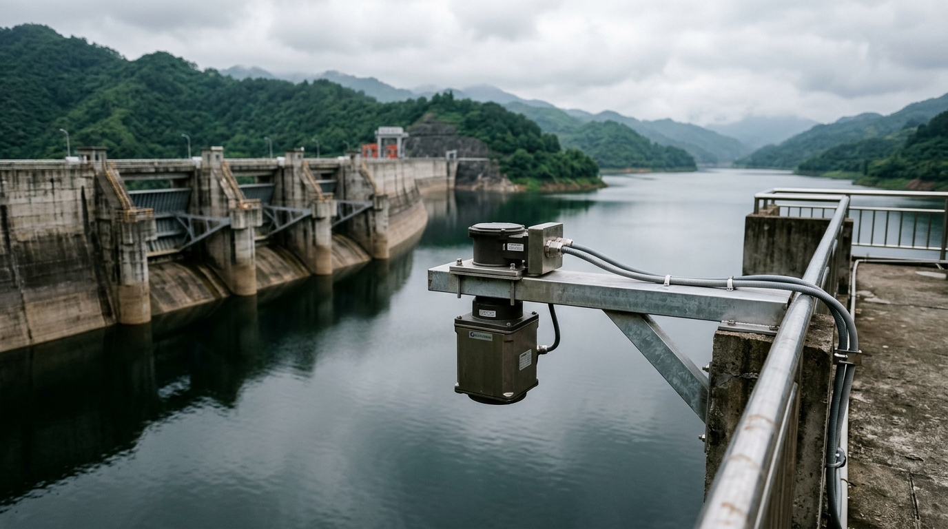
Tier L1 – Level Sensing (80% of points): Deploy non-contact radar level sensors only. An 80 GHz FMCW radar with a 3° beam angle provides stable measurements in DN600–DN2000 pipes without a stilling well, at a unit cost of ¥3,000–5,000. Unlike submersible pressure transducers, radar sensors are immune to silt accumulation and H₂S corrosion, extending maintenance intervals from 3 to 18 months.
Tier L2 – Flow Computation (15% of nodes): Add velocity sensors (Doppler or surface-velocity radar) at key cross-sections — trunk sewers, outfalls, and pump station forebays — to compute instantaneous flow via the area-velocity method. Accuracy is within ±10% under partial-fill conditions, sufficient for CSO accounting and network balancing.
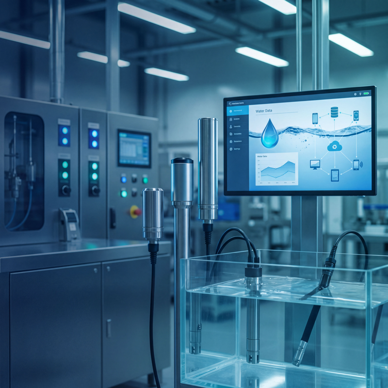
Tier L3 – Water Quality (5% of critical nodes): Multi-parameter probes (COD, NH₃-N, pH) are installed at WWTP inlets and major industrial outfalls, combined with L2 flow data for pollution load calculation and source tracing.
Dual-Mode Communication: LoRa + NB-IoT Reliability
Underground drainage environments present severe RF challenges. Cast-iron manhole covers attenuate signals by 20–30 dB, compounded by 3–8 m depth. To overcome this, a dual-mode redundancy strategy has been engineered.
LoRa (470–510 MHz, ISM band) reliably penetrates manhole covers with a 1–2 km range at SF12/BW125kHz. A single 8-channel gateway (≈¥2,000) supports 2,000+ end devices, forming a private LoRaWAN subnet.
NB-IoT (B5/B8, licensed spectrum) serves as redundant backhaul. When LoRa link quality degrades, end devices automatically fall back to NB-IoT direct-to-cloud reporting.
Protocol unification: All devices output MQTT/JSON natively; a protocol adaptation layer at the edge gateway or cloud converts to SL651-2014, HJ/T 212, or other required formats, eliminating multi-protocol fragmentation. In a 30-day field trial, dual-mode redundancy improved data delivery rate from 92.3% (LoRa-only) to 98.7%, exceeding the ≥95% data completeness requirement specified in Chinese urban drainage monitoring regulations.
Edge Computing Strategies for Significant Cost Reduction
At scale (500+ monitoring points), uploading raw time-series data to the cloud incurs significant recurring costs. Edge preprocessing strategies are essential for optimizing total cost of ownership.
Event-driven reporting: Sliding-window level-change detection uses a 5-min window with a 1-min step. Real-time upload occurs only when Δlevel > 0.5 m/5 min; otherwise, 15-min aggregates are batch-uploaded (96 records/day).
CSO detection at the edge: RTU-local logic determines CSO event start/end from combined level-flow thresholds. Only event summaries (overflow volume, duration, peak flow) are transmitted, not high-frequency raw data.
Self-diagnostics: RTU periodically samples battery voltage, RSSI, and sensor health codes, computing a health score (0–100). Scores below 60 auto-trigger maintenance work orders.
Impact: For a 500-point deployment, edge preprocessing reduces cloud uplink volume by approximately 70%, cutting monthly data costs from ¥4,000–6,000 to ¥1,500–2,000.
Conclusions and Recommendations
Cost-effective drainage monitoring is not about selecting the cheapest hardware — it is about system-level TCO optimization. By combining tiered deployment, dual-mode communication, and edge preprocessing, the annualized total cost per sensing point (including depreciation, connectivity, and maintenance labor) can be contained below ¥2,000.
For water utilities and system integrators planning a drainage monitoring program, we recommend completing a one-month GIS survey and critical-node reconnaissance to determine the spatial distribution of L1/L2/L3 points. Additionally, run a six-month pilot with 10–20 representative sites to validate sensor reliability under local conditions before scaling.
Digitizing urban drainage is a multi-year endeavor, but with sound architecture and pragmatic engineering choices, wide-area deployment on a controlled budget is entirely achievable. Calibrate level-flow rating curves from pilot data, then scale to full network coverage.