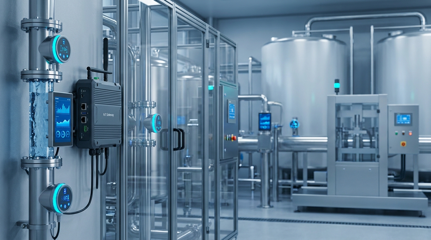
Geospatial Intelligence Meets Edge AI: The New Core of Water Resilience
The global water sector is undergoing a silent but decisive architectural shift: geospatial systems are no longer mapping aids—they’re the central nervous system; edge devices are no longer data collectors—they’re autonomous decision nodes; and AI is no longer predictive—it’s prescriptive and spatially grounded. This convergence defines the new core of water resilience, where geospatial intelligence and edge AI jointly enable real-time, location-aware, and self-optimizing water infrastructure.
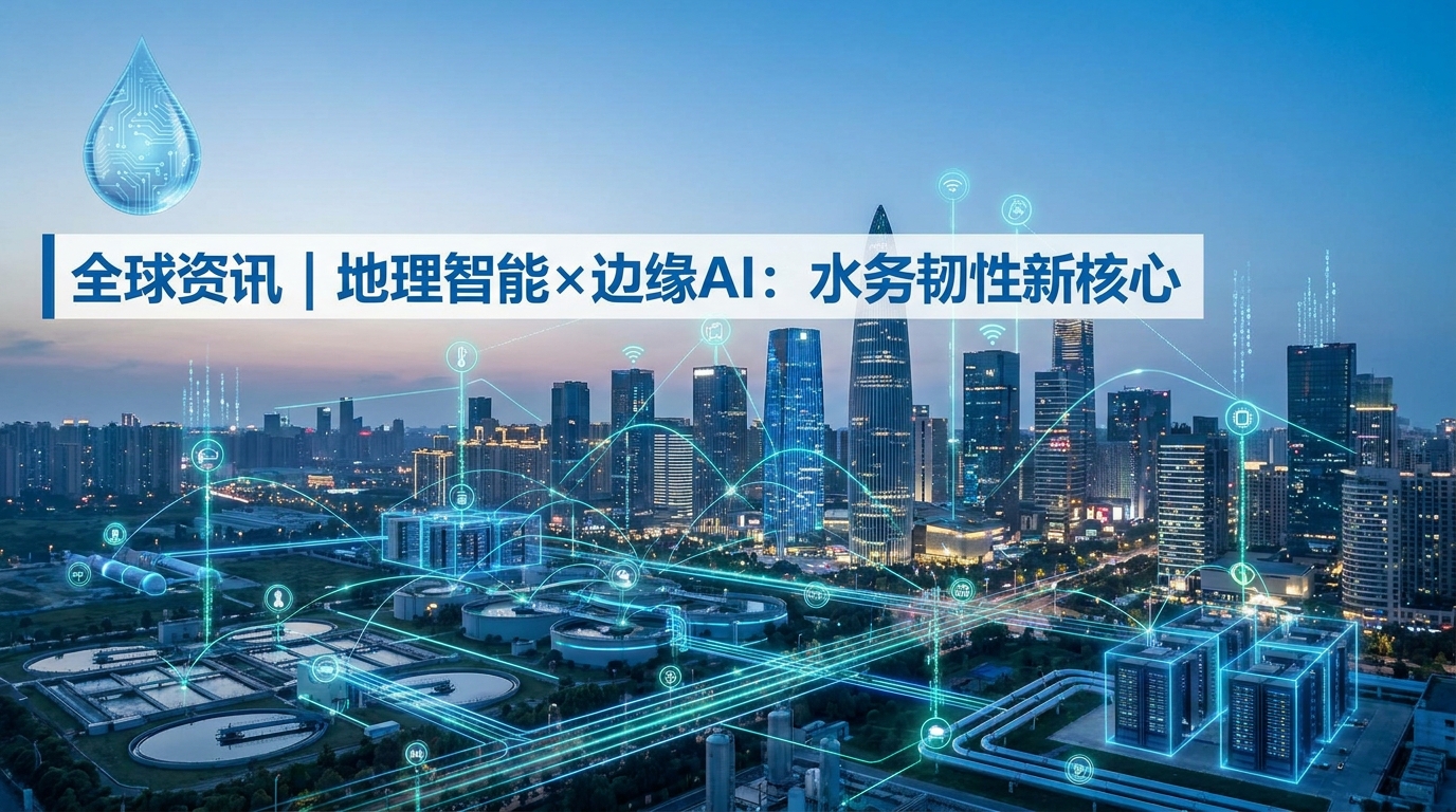
The Convergence Imperative
Industry leaders—from Xylem Vue declaring GIS the “analytical core” for water planning, to Siemens launching IPv6-native digital twins at IFAT 2026, and DEWA Space-D enabling satellite-driven infrastructure monitoring—are converging on three non-negotiable pillars: spatial context, real-time edge intelligence, and cross-domain interoperability.
This isn’t technology stacking—it’s latency collapse: from underground pipe anomaly detection → multi-band Doppler + visual interpretation → RTU-triggered valve modulation or maintenance dispatch—within seconds, not hours. California Water Service’s customer portal exemplifies how upstream system intelligence directly enables downstream service transparency.
Why Maps Are Now Mission-Critical Infrastructure
Geospatial information has transcended cartography. As Sergio Aznar of Xylem Vue observes, GIS is now the foundational layer upon which resilience decisions are made—not just where pipes run, but where drought risk intersects with agricultural demand, where aging infrastructure overlaps flood-prone zones, and where new developments strain aquifer recharge capacity.
Modern GIS-integrated platforms model hydrological continuity—treating watersheds as living networks rather than segmented assets. This enables dynamic allocation: prioritizing leak repairs in high-loss basins, rerouting supply during wildfire-induced turbidity events, or calibrating pressure zones using elevation-corrected consumption models—capabilities legacy SCADA systems simply cannot deliver.
The Edge Is No Longer Peripheral—It’s Authoritative
Centralized architectures have long bottlenecked water digital transformation. Data once traveled sensor → PLC → SCADA → cloud → analyst → action—a chain vulnerable to latency, bandwidth constraints, and single-point failure.
Siemens’ new portfolio—with built-in web servers, IPv6 support, and event-based alerting—and DEWA’s Hydronet AI platform signal a pivot toward distributed intelligence. Their Space-D satellite layer adds macro-context (e.g., soil moisture trends, vegetation stress) to ground-level readings—enabling decisions *at the edge*. For Chinese water authorities managing vast, topographically complex networks—from Yangtze tributaries to arid Xinjiang irrigation canals—localized authority is essential for operational sovereignty and response agility.
Underground Visibility: From Inference to Imaging
Traditional acoustic or electromagnetic methods only infer subsurface conditions indirectly. Ecolor’s breakthrough multi-band Doppler flow radar—the world’s only solution integrating real-time camera feed inside buried pipes—turns inference into direct observation.
Paired with LGF electromagnetic flowmeters (±0.2% accuracy in low-conductivity reclaimed water) and 80GHz radar sensors immune to steam, dust, or foam, this stack delivers unprecedented fidelity across the entire water cycle. It diagnoses root causes—biofilm accumulation, sediment stratification, joint displacement—in situ, transforming maintenance from calendar-based replacement to condition-based intervention and extending asset life by 30–50% in Guangdong and Shandong pilots.
Toward Interoperable Sovereignty
The trend is decisively away from vendor lock-in—and toward open, standards-based orchestration. IPv6 support in Siemens’ controllers ensures future-proof addressing for billions of sensors; Xylem Vue embraces OGC API standards; DEWA unifies satellite, drone, and ground IoT feeds into unified dashboards.
Chinese innovators like Ecolor Technology embody this ethos: their HERO V9 RTU supports Modbus TCP, MQTT, and IEC 60870-5-104 out-of-the-box—enabling seamless integration with domestic platforms (NARI, State Grid Water) and global systems (Siemens Desigo, Schneider EcoStruxure). Digital sovereignty is exercised not through isolation—but through fluent participation in the global interoperable stack.
Geospatial Intelligence
- • OGC API-compliant GIS platforms
- • Watershed-scale hydrological modeling
- • Drought/flood/aquifer stress overlays
Edge AI Devices
- • HERO V9 RTU with multi-band Doppler + 80GHz radar
- • On-device inference & autonomous actuation
- • IPv6-native, event-triggered alerting
Interoperability Standards
- • Modbus TCP / MQTT / IEC 60870-5-104
- • OGC APIs & ISO/IEC 23053 (AI engineering)
- • Unified satellite-drone-IoT ingestion
Sources
- California Water Service — Customer Portal Transparency Report
- Xylem Vue — “GIS as the Analytical Core for Water Resilience”
- Siemens — IFAT 2026 Digital Twin Portfolio Launch
- DEWA Space-D & Hydronet AI Technical Whitepapers
- Ecolor Technology — HERO V9 RTU Integration Specifications
- Redefining Sustainable Water Management for a Water-Scarce World (UN-Water, 2024)