Why Non-contact Radar Dominates River Stage Monitoring
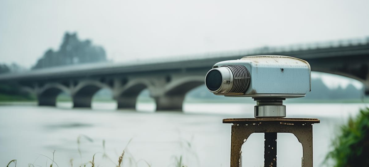
Open rivers are the backbone of flood defence and hydrological gauging networks, and they impose three challenges that buried pipelines or sheltered reservoirs do not: a wide, wind- and vessel-disturbed water surface; high velocities and heavy debris during flood events that destroy contact-type sensors (bubbler, float, submersible pressure); and the near-total absence of mains power along most river reaches. Over the last decade, non-contact radar level sensors have become the default choice for river stage monitoring, thanks to IP68-rated sealed enclosures, zero moving parts, and millimetre-level resolution.
Frequency Selection: 80 GHz Narrow Beam for Open Channels
Radar level gauges are available mainly in 26 GHz and 80 GHz variants. For river applications, 80 GHz FMCW radar is strongly preferred. Its beam angle can be narrowed to 3°–8°, producing an illuminated footprint of only 0.5–1.4 m at a 10 m mounting height. This keeps the main lobe clear of bridge piers, guard rails and bank vegetation — the classic sources of false echoes. A 26 GHz instrument with a 10°–16° beam will frequently clip the bank when mounted on a cantilever. Key specifications to verify:
- Range and blanking distance: seasonal stage variation of 6–10 m is common on regulated rivers; choose 0.2–30 m range with a near-zone ≤0.15 m so low-flow readings remain valid;
- Accuracy: ±1 mm to ±3 mm on calm water satisfies most national hydrological standards for automatic stage recorders;
- SNR diagnostics: turbulent flood water scatters microwave energy; instruments exposing signal-to-noise ratio per echo allow threshold-based rejection of spurious targets;
- Power budget: solar-only sites demand ≤0.5 W average draw, paired with a low-power RTU supporting sleep/wake duty cycling.
Installation and Commissioning Best Practices
Site the sensor over a straight, hydraulically smooth reach — never over eddies, dead water, or directly above the thalweg where debris impact risk peaks. Keep the beam axis within 5° of vertical. Size the mounting height as historic flood level + 1 m freeboard + blanking allowance, and extend the cantilever bracket 1.5–2 m beyond the bank so the entire footprint stays on water. Open river corridors attract lightning: bond the mast with a ground resistance ≤4 Ω and fit surge protection on all signal lines. During commissioning, run a 3–7 day parallel check against a manual staff gauge: record the air-height reading, apply the local datum offset (e.g. national vertical datum), and confirm the residual stays within ±2 cm. Enable a moving-median filter to suppress wind-wave spikes, log at 10-minute intervals in normal season and tighten to 1–5 minutes during flood alerts, and uplink via a 4G or NB-IoT IoT RTU.
Conclusion
The winning formula for river stage monitoring is an 80 GHz narrow-beam radar with matched range, low power draw, disciplined siting and a documented staff-gauge validation. Delivered this way, a station typically costs ~40% less to build than a legacy cableway float system, cuts annual maintenance by over 60%, and — most importantly — keeps reporting through the flood peaks when the data matters most.