1. Background: From Single-Point to Full Velocity-Field Sensing
Over the past decade, non-contact flow measurement has proven itself as a viable replacement for intrusive methods: 80 GHz Doppler radar sensors and laser surface velocimeters are now standard in stormwater culverts and irrigation canals. Their shared limitation is that a single surface point must represent the whole cross-section, relying on a fixed surface-to-mean velocity coefficient (typically 0.82-0.89). Coefficient drift remains the dominant error source. Two newer technology routes are changing this picture: imaging radar and video-based flow measurement (LSPIV/STIV).
2. Technical Analysis: Principles and Engineering Boundaries
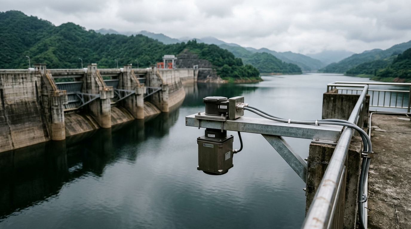
Imaging radar: 2D surface velocity fields from MIMO antenna arrays. Operating at X or Ka band, imaging radar inverts Doppler spectra into a vector field of surface velocities, typically at 0.5-1 m resolution across 30-100 m of channel width. A single measurement yields surface velocities along multiple verticals of the cross-section. Compared with single-point radar, the key advantage is an adaptive velocity coefficient: during floods, when high-velocity cores migrate toward the main thalweg, the system observes the lateral redistribution directly, narrowing cross-section discharge error from ±8% to within ±5%. All-weather operation is its decisive advantage over video - it works at night, in rain and fog, and over featureless water surfaces, making it the preferred choice for flood forecasting stations.
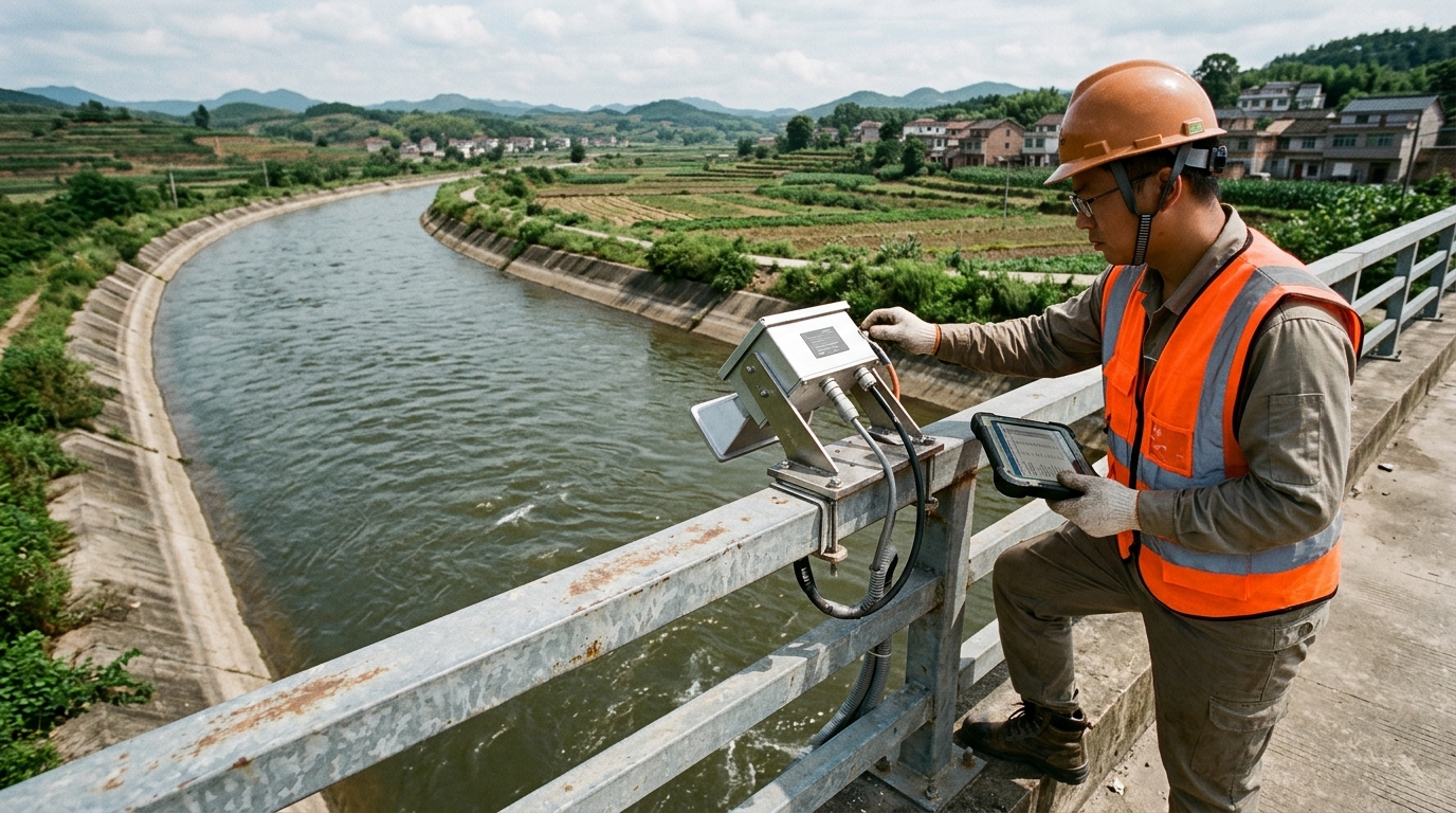
Video-based methods (LSPIV/STIV): the workhorse for low-cost, high-density networks. These techniques apply particle image velocimetry and space-time image velocimetry algorithms to camera footage, extracting surface velocity fields through spatiotemporal correlation. Hardware cost is roughly one-third to one-fifth of an imaging radar system, and paired with solar power and an IoT RTU they run unattended. The engineering boundaries are equally clear: dependence on surface tracers and ambient light. A calm, glassy water surface lacks trackable texture and requires artificial seeding; night operation demands illumination, and glare or raindrops on the lens can bias velocities low by 10-20%. STIV is more tolerant of sparse tracers than LSPIV and suits urban drainage channels carrying some floating debris.
Common foundation: rating quality caps accuracy. Both technologies measure surface velocity; final discharge equals surface velocity × coefficient × cross-sectional area. Cross-section surveying (culvert sedimentation, canal lining deformation) and real-time stage-area curves matter as much as the velocity field itself. A frequent field mistake is calibrating only the velocity coefficient while skipping periodic cross-section re-surveys - low-flow errors above 15% are a common consequence.
3. Selection Guidance by Scenario
- Flood and hydrological monitoring stations: favor imaging radar. All-weather operation matters most exactly when data matters most - during floods, when camera lenses are typically blinded by spray and debris.
- Urban drainage monitoring (culverts, outfalls): STIV video plus non-contact radar level sensors offers the best cost-performance for dense daytime deployments; night-time gaps can be bridged with stage-discharge extrapolation from the non-contact radar level record.
- Irrigation districts: imaging radar for settlement-grade headworks metering, video for process monitoring on branch canals - a tiered configuration that controls per-site investment.
- Universal requirement: complete at least one full hydrological year of comparative testing before commissioning, rating the velocity coefficient as a curve across 5-8 discharge levels against an ADCP reference - never a single constant.
4. Summary
Non-contact flow measurement is evolving from single points to velocity fields, and from constant coefficients to adaptive ones. Imaging radar claims high-accuracy, all-weather monitoring; video-based methods enable low-cost, high-density process surveillance. They are complementary layers rather than substitutes. For system integrators, the real differentiator is not the sensor but the cross-section modeling and field rating discipline behind the velocity-area method - that is what converts instrument accuracy into settlement-grade data.